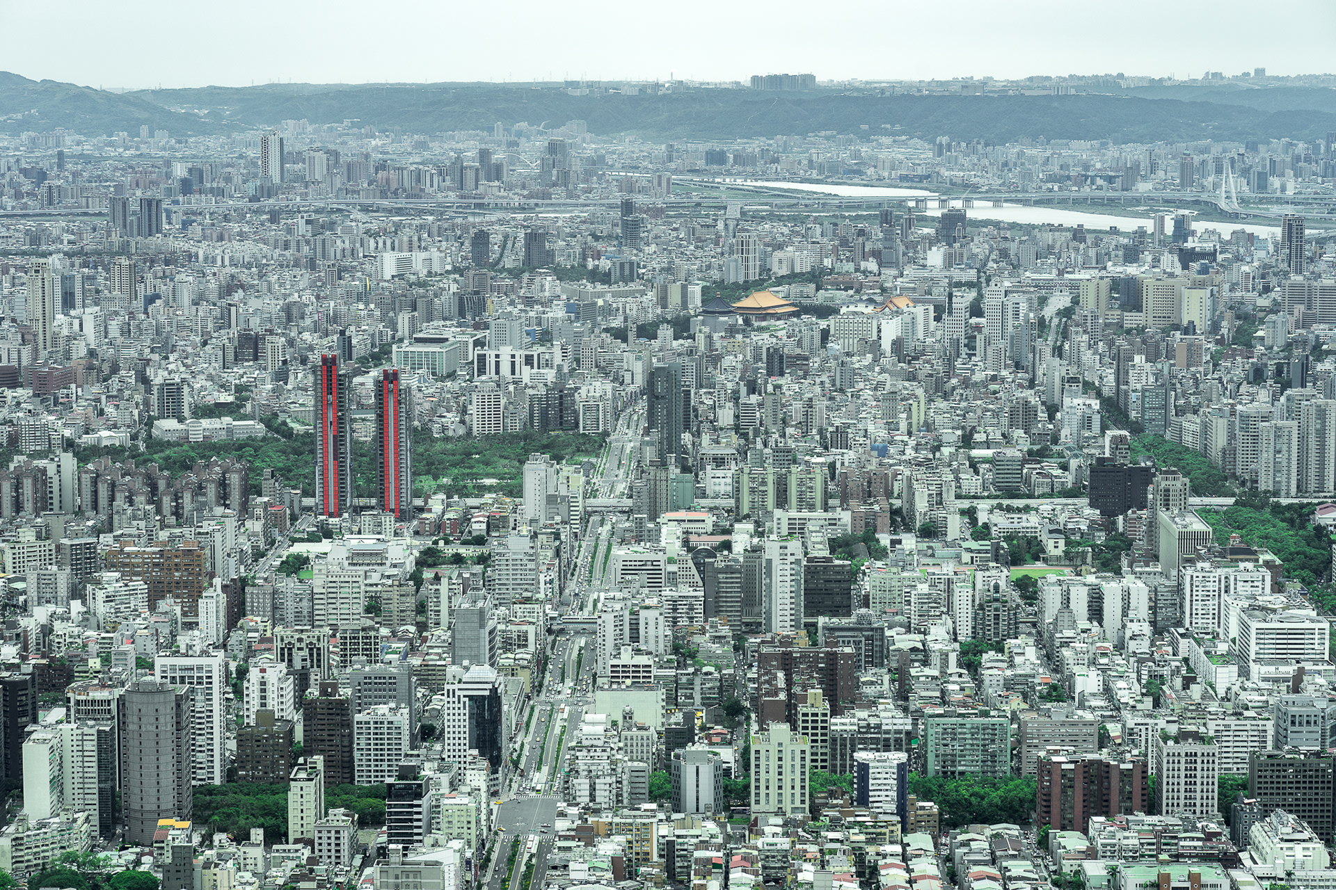
Facing the south side. It is one of the main road in Taipei City "Xinyi Road" and the yellow roof building is the famous Chiang Kai-shek Memorial Hall.

Keelung Road on the south, it all the way to Taipei County.

Guanine Mountain on the North-West side of Taipei City. The reason we call it Guanine Mountain because it looks as the same as a Guanine side face in a angle.

Before one of our biggest business zone, Xinyi District, in Taipei. There were a lot of "Military Community" in this area and now they are almost demolished to skyscrapers or modern apartments. In the picture, it is the only one left of the community. But there is no one live in, it become one of a travel spot in Taipei.
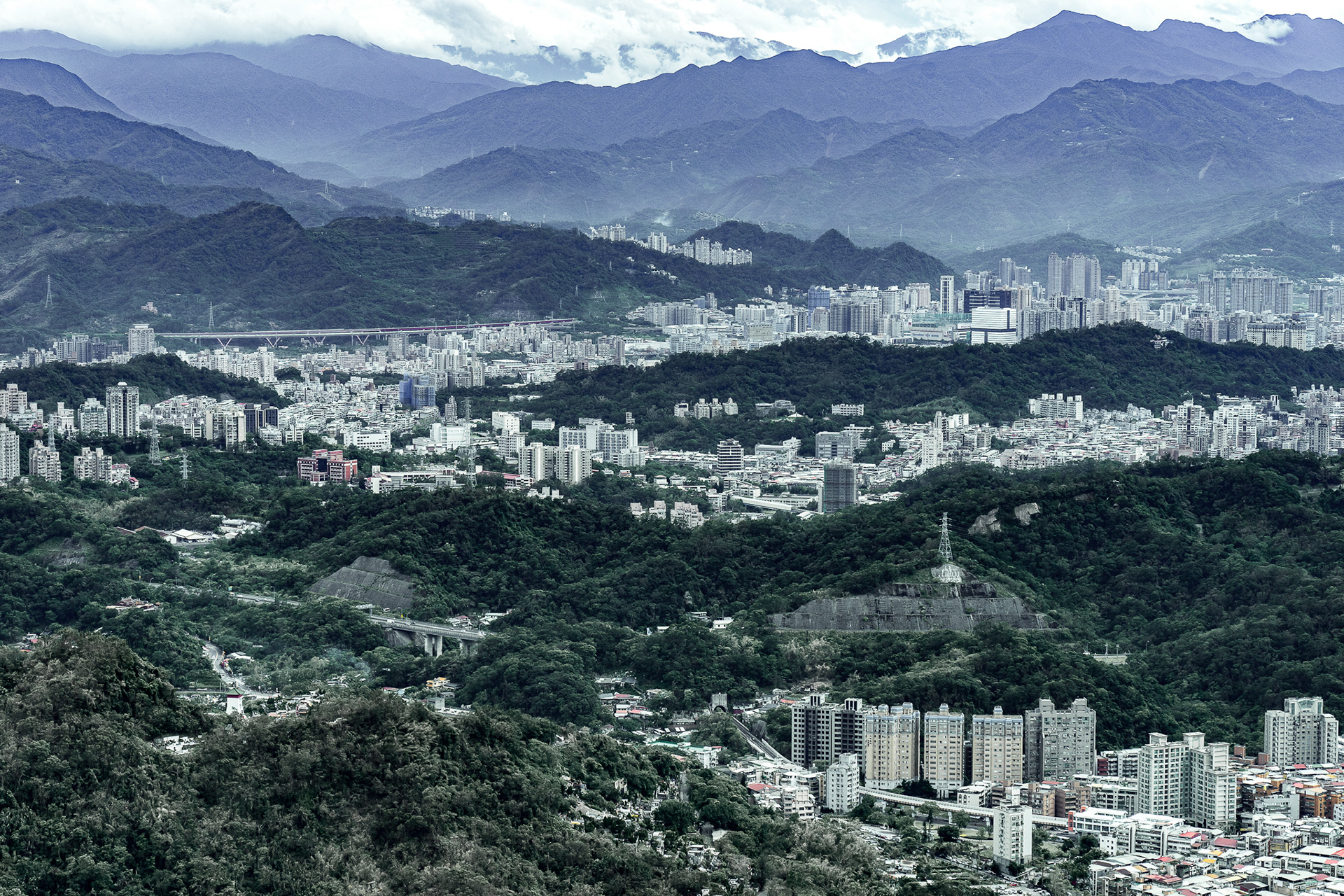
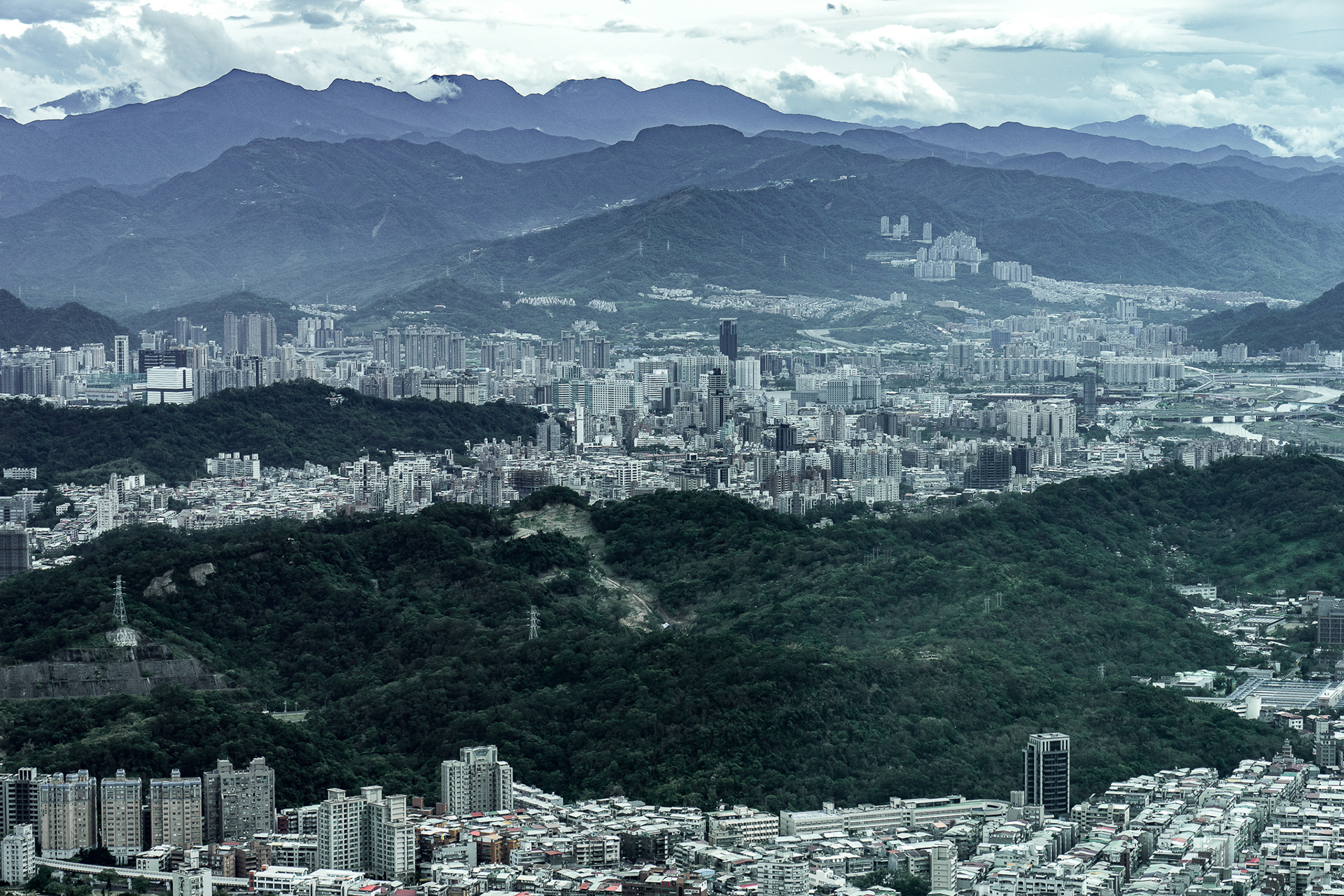
The south side of Taipei City. Taipei City and County is a basin in geography. As you can see, we are surrounding by mountains.
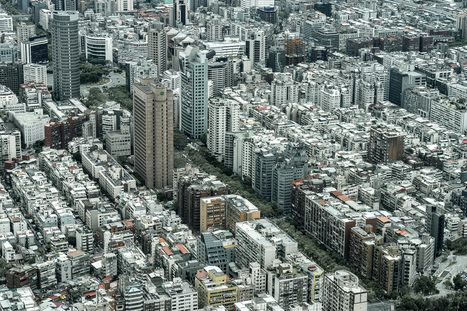

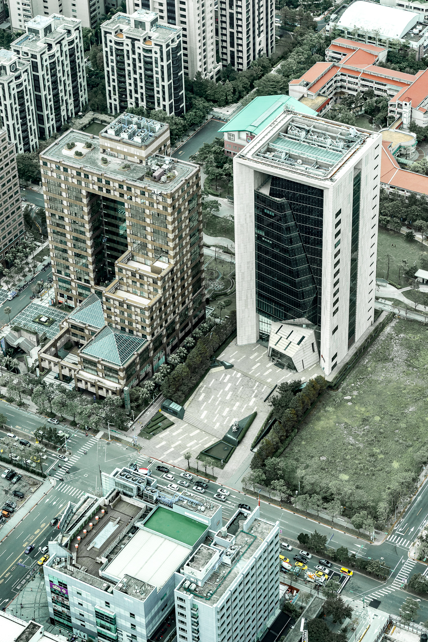
China Trust Bank.

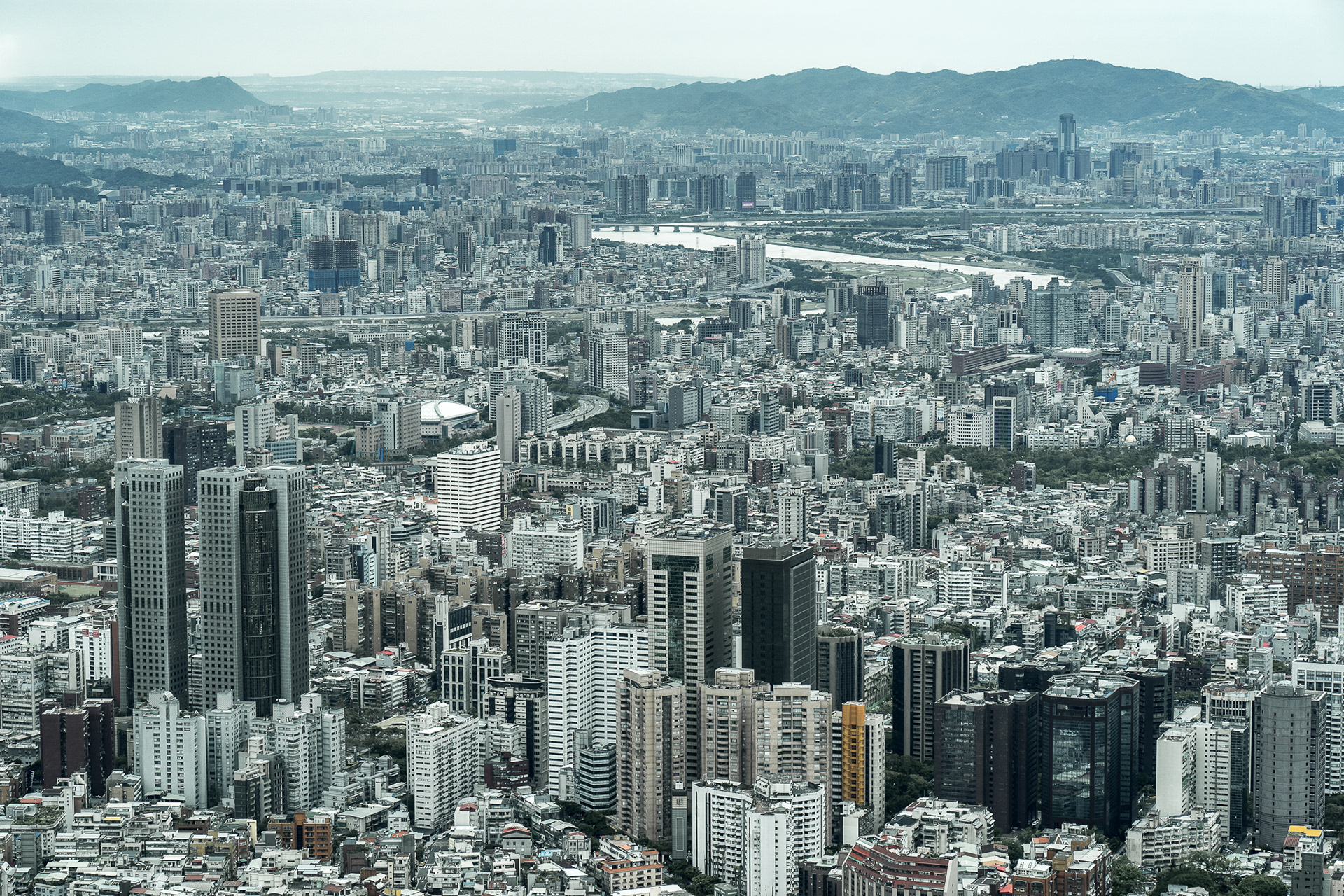
Across the river, it is the Science Park on the north side of Taipei.
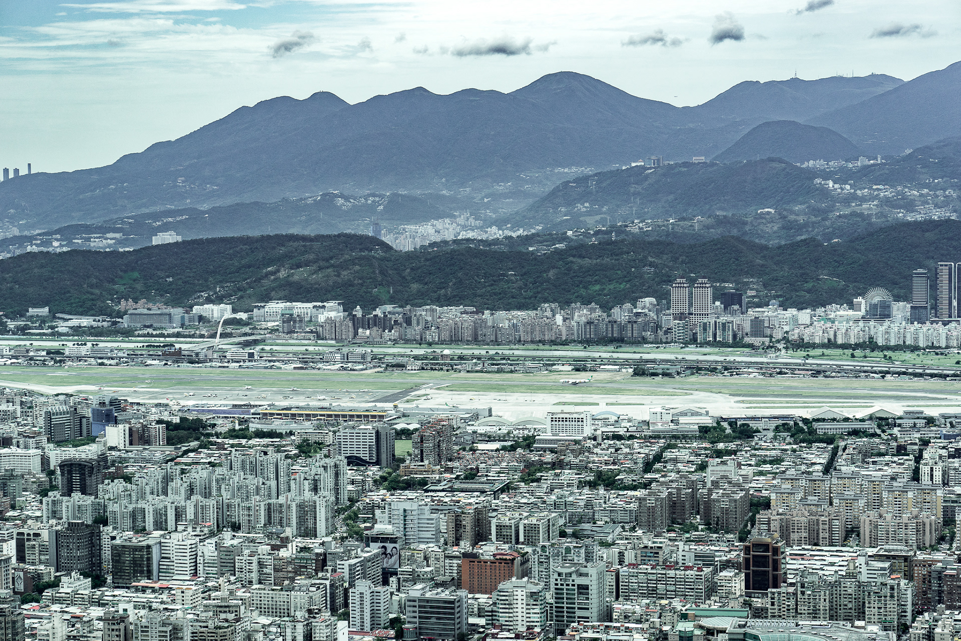
Songshan Airport is now a domestic airport in Taiwan, but before about 50 or 60 years ago, it was a international airport. Facing the north is the famous Yung Ming Mountain, it only takes more than 30 mins from centre to mountain.
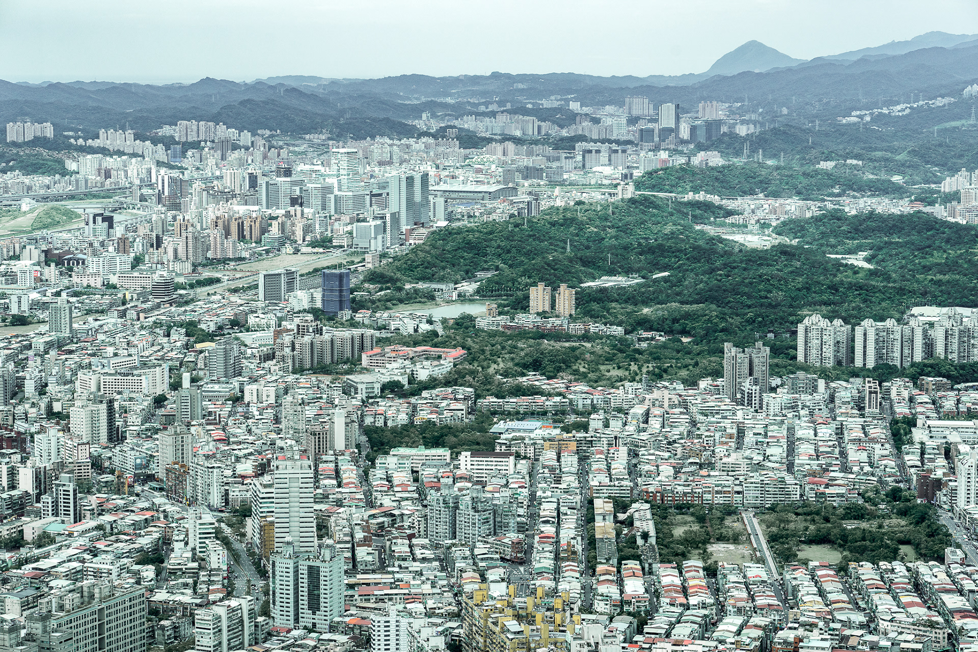
The triangle shape mountain is called Keelung Mountain. One of the famous tour spot in that area, you can experience the culture mixed with early Taiwan and Japan colonial time.

There is a "Four Monsters (or animals) Mountain next to the Xingyi District. The four monsters are tiger, elephant, leopard and lion, so there are four mountains. Also, there is a nice place to take a picture of Xingyi District with Taipei 101 in the Elephant Mountain.

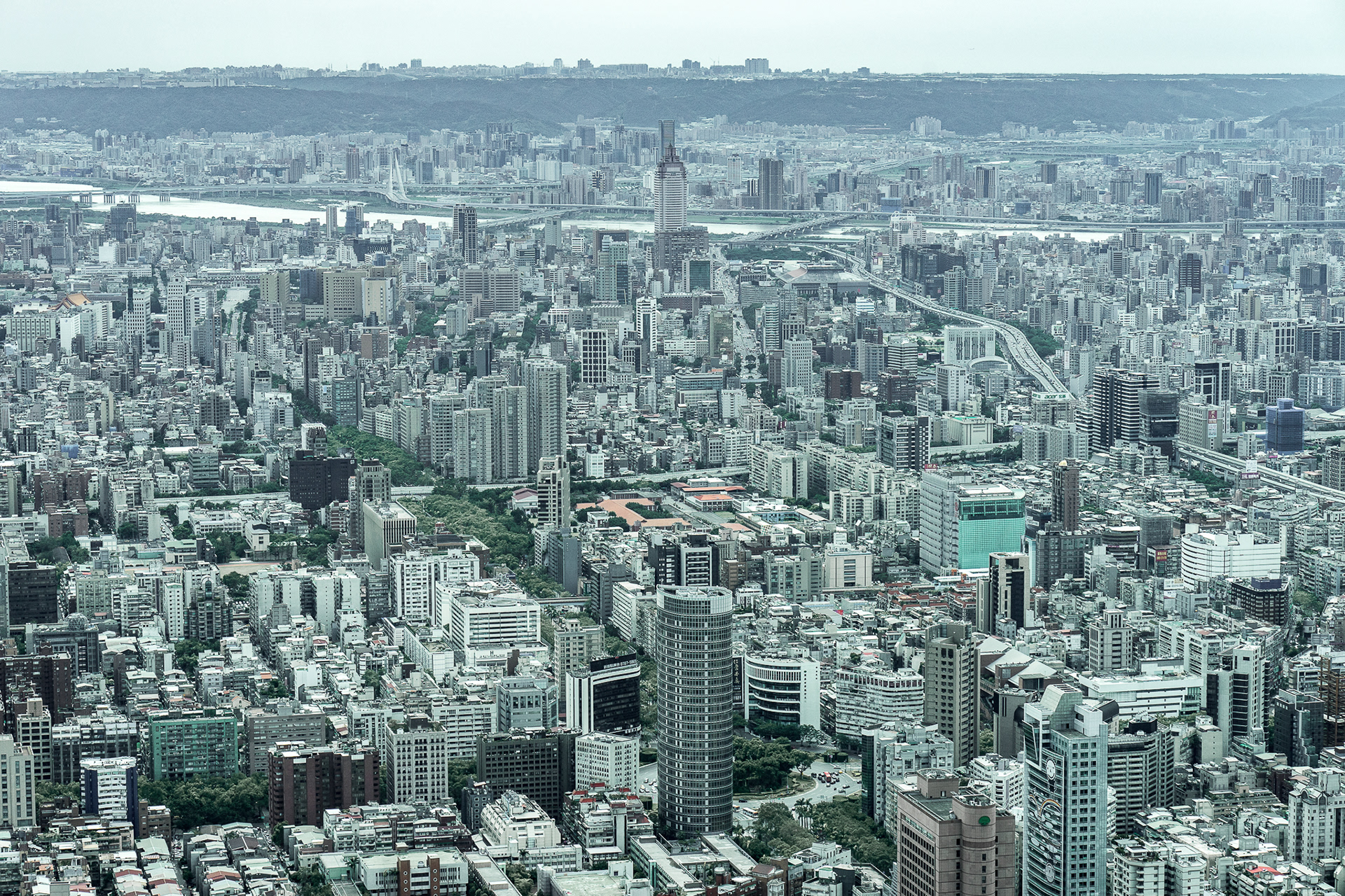
In the middle upper side, it was the highest building and a landmark before Taipei 101 was built.
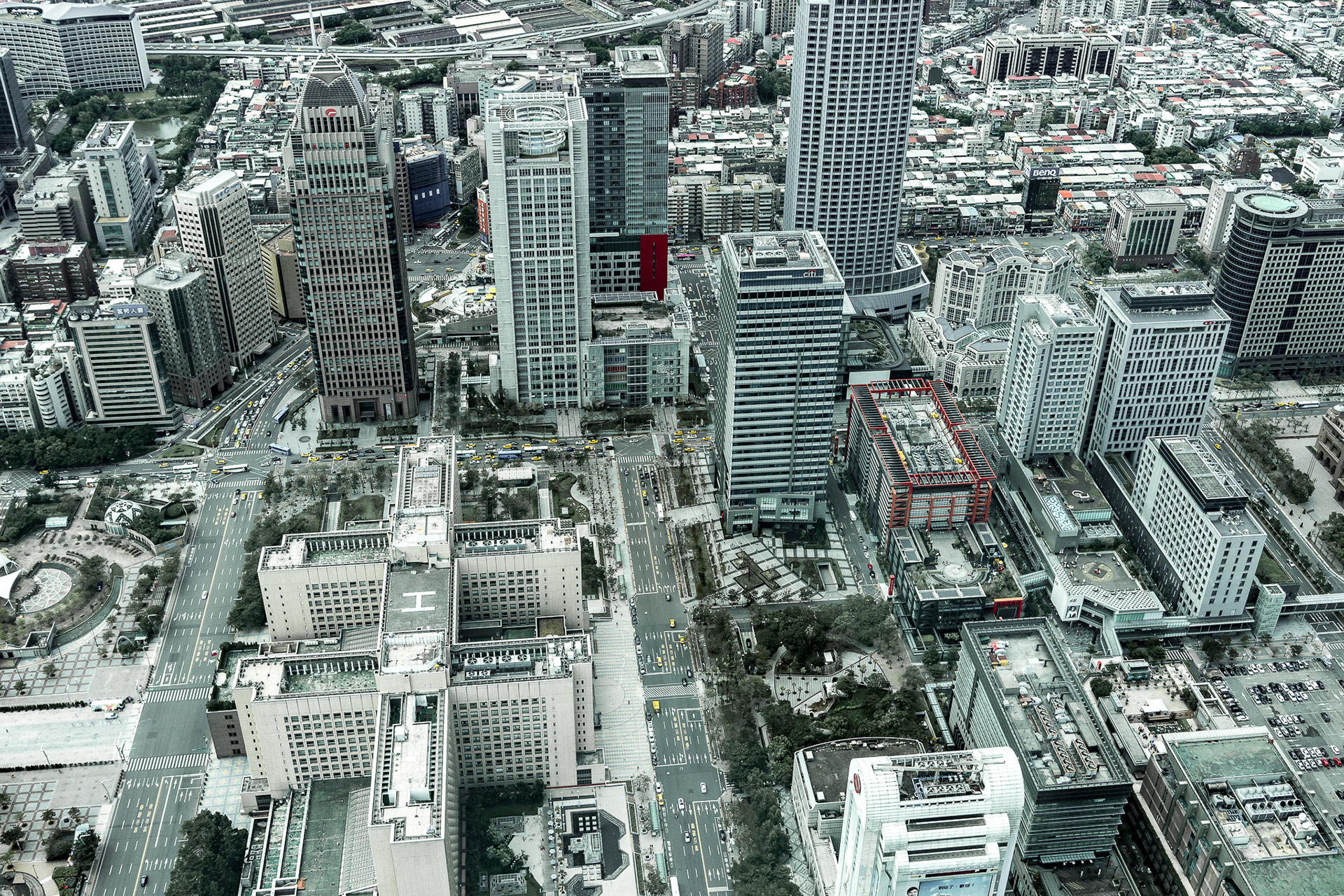
Right side is the Taipei City Hall and it is surrounded by business building and department stores.


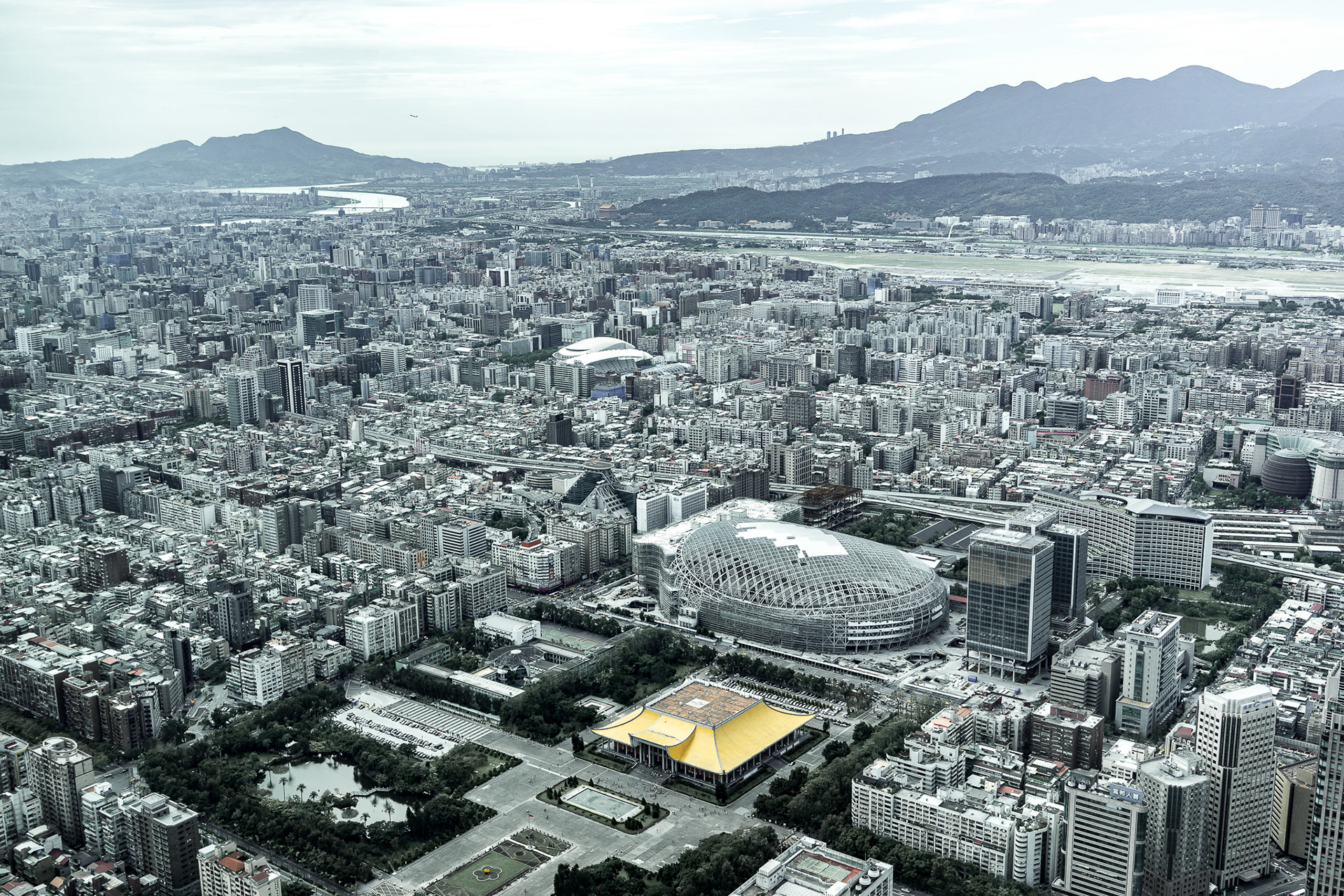
Guanine Mountain, Yung Ming Mountain and Sun Yat-sen Memorial Hall. In that time, the arena was still building.