I took this photo in 2012 and took an alone trip on the northeast corner of coastline in Taiwan. This picture could somehow have different meanings for me. Sometimes I see it as a "go forward" or "turn back", even a "stay where you are". The island, the sea, the rocks or even the waves have many definitions for anyone.
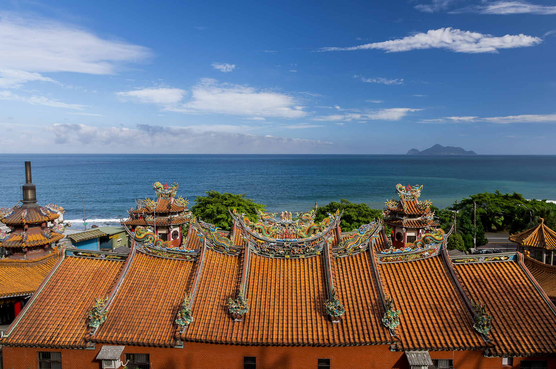
The Day Temple. During the Chinese Lunar New Year, people would spend a day to worship the god of day. As other tradition, they would ask some questions concern to the next year by divination blocks cup.
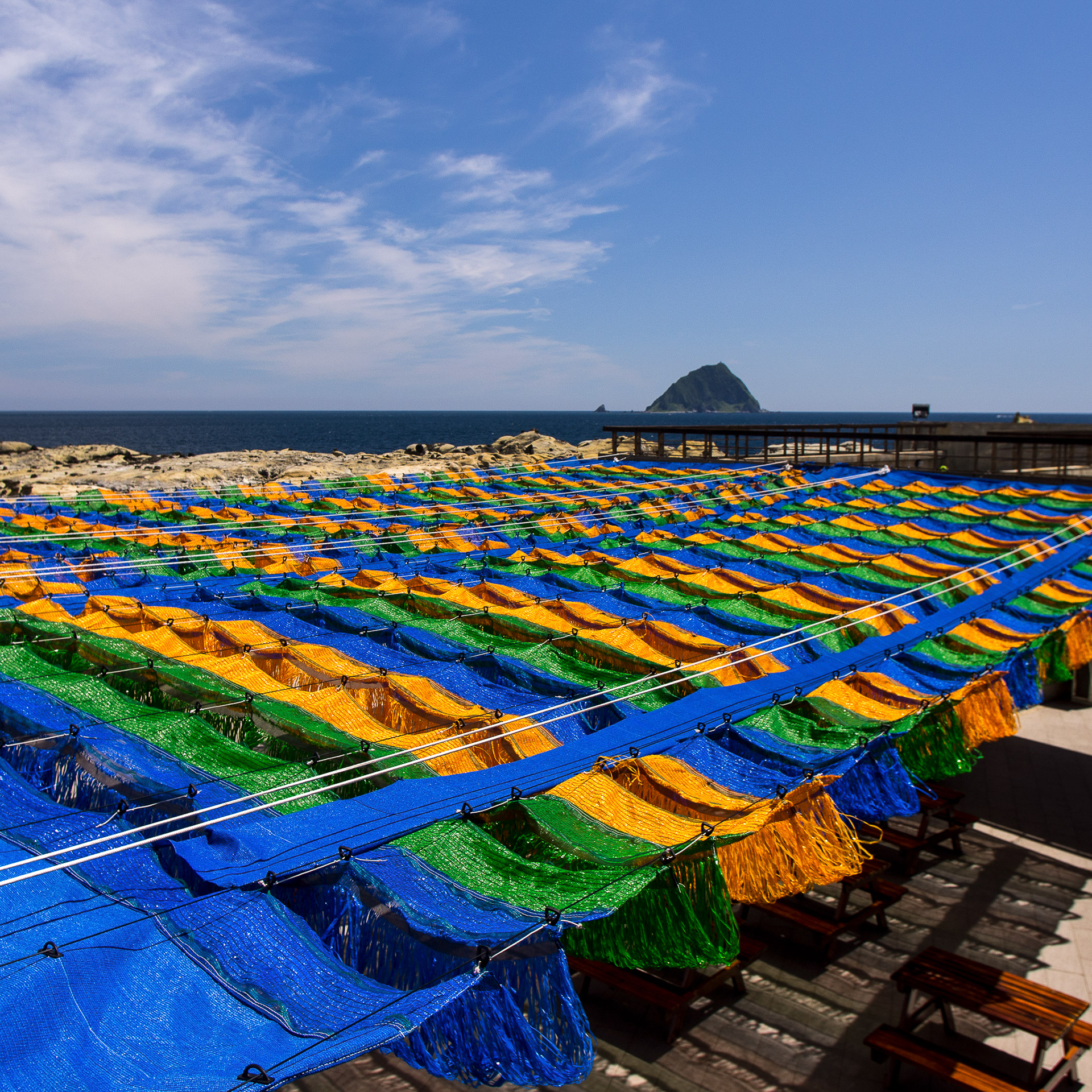
The Peace Island in Keelung in 2012. There was a preparation for a coming festival.
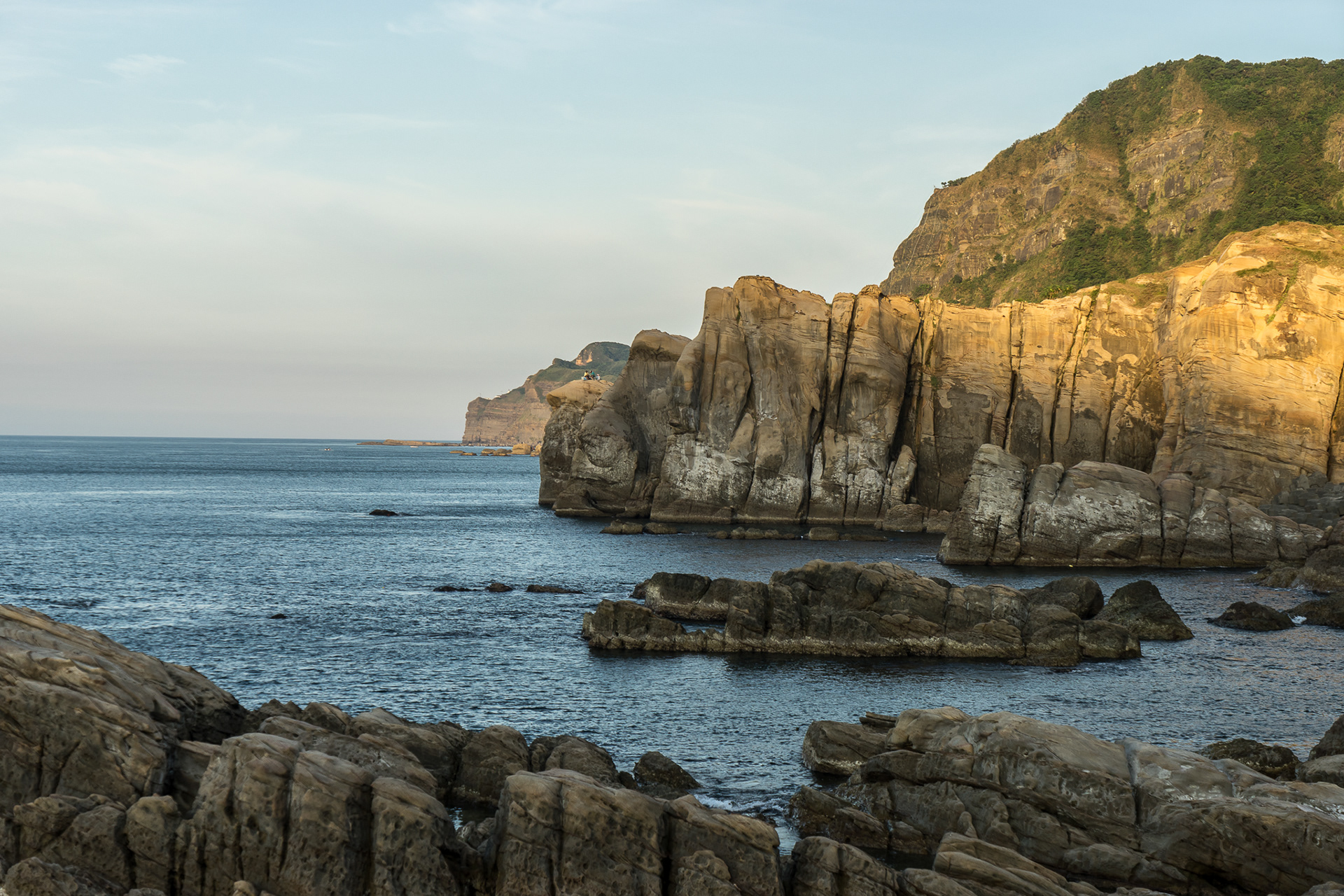
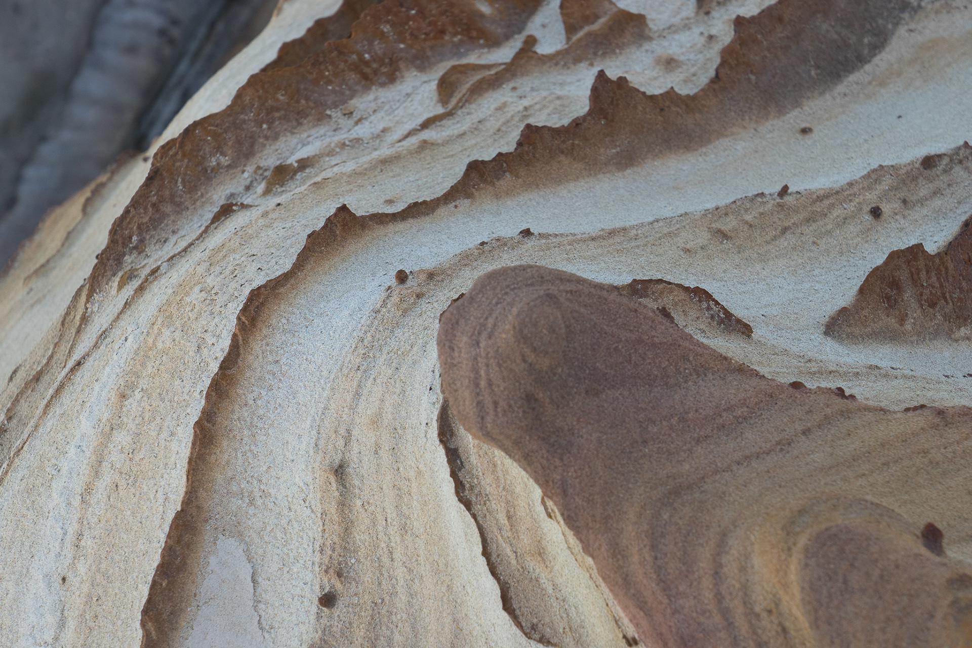
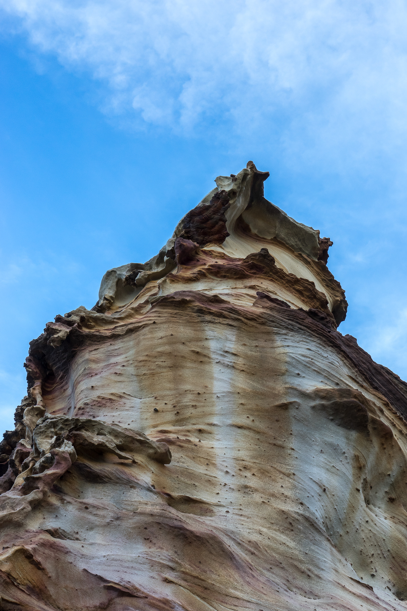
The Mushroom-Shaped Stones in Peace Island in 2012. The coastlines in the Northern and Eastern Taiwan are eroded by wind and marine. For a very long term erosion, they formed in many different landscape.

I drove through the northeast coastline and parked aside of the road. Then I found this clean water next to my feet in 2012.

Another erosion by marine, it is called Elephant Rock. Near by the rock, there is a delicious sea foods restaurant in port.

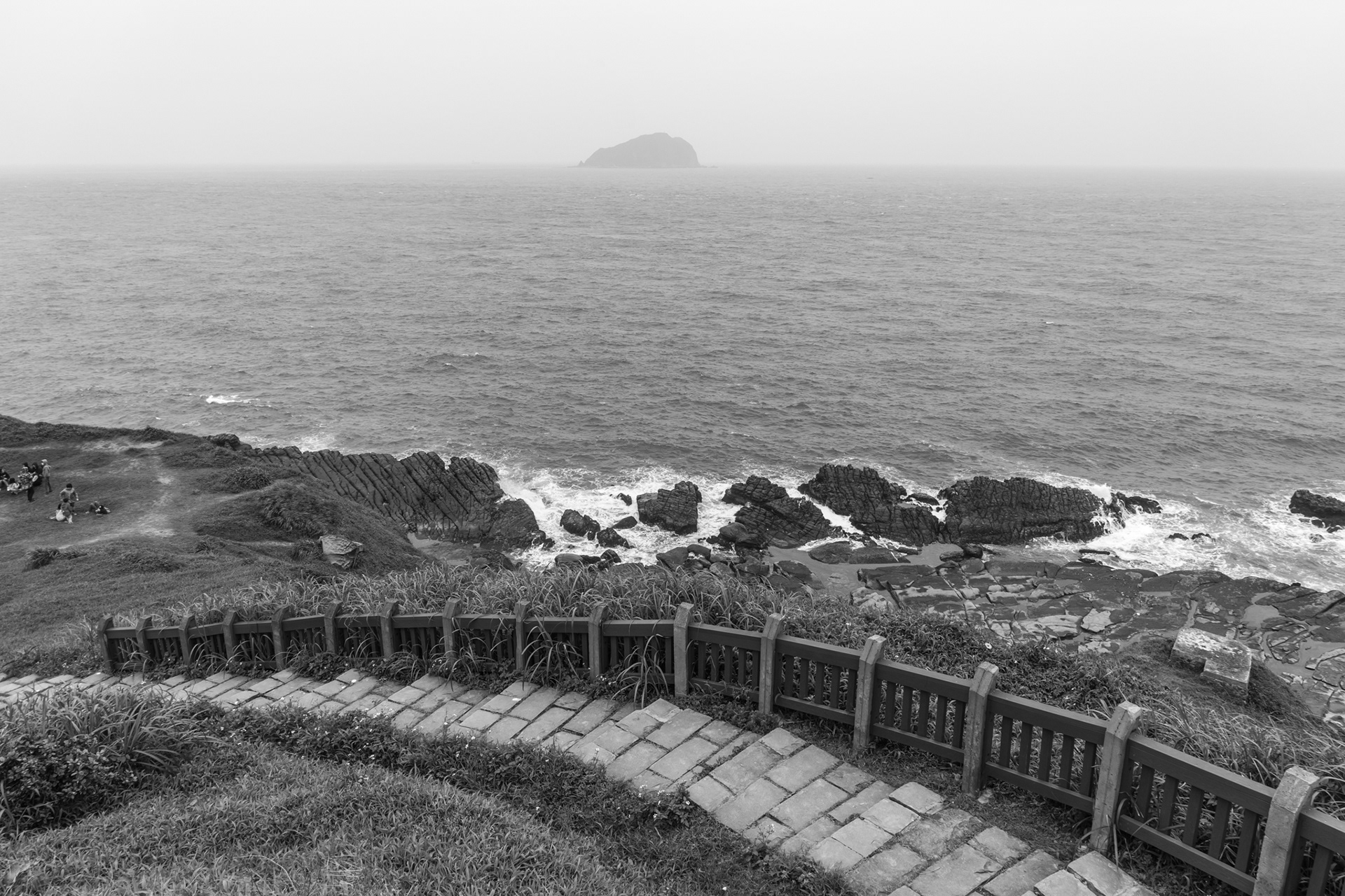
A view from Keelung outside Kiama to Keelung Islet. Keelung outside Kiama provides port, sand beach and heated swimming pool for public as a place to relax and fun.
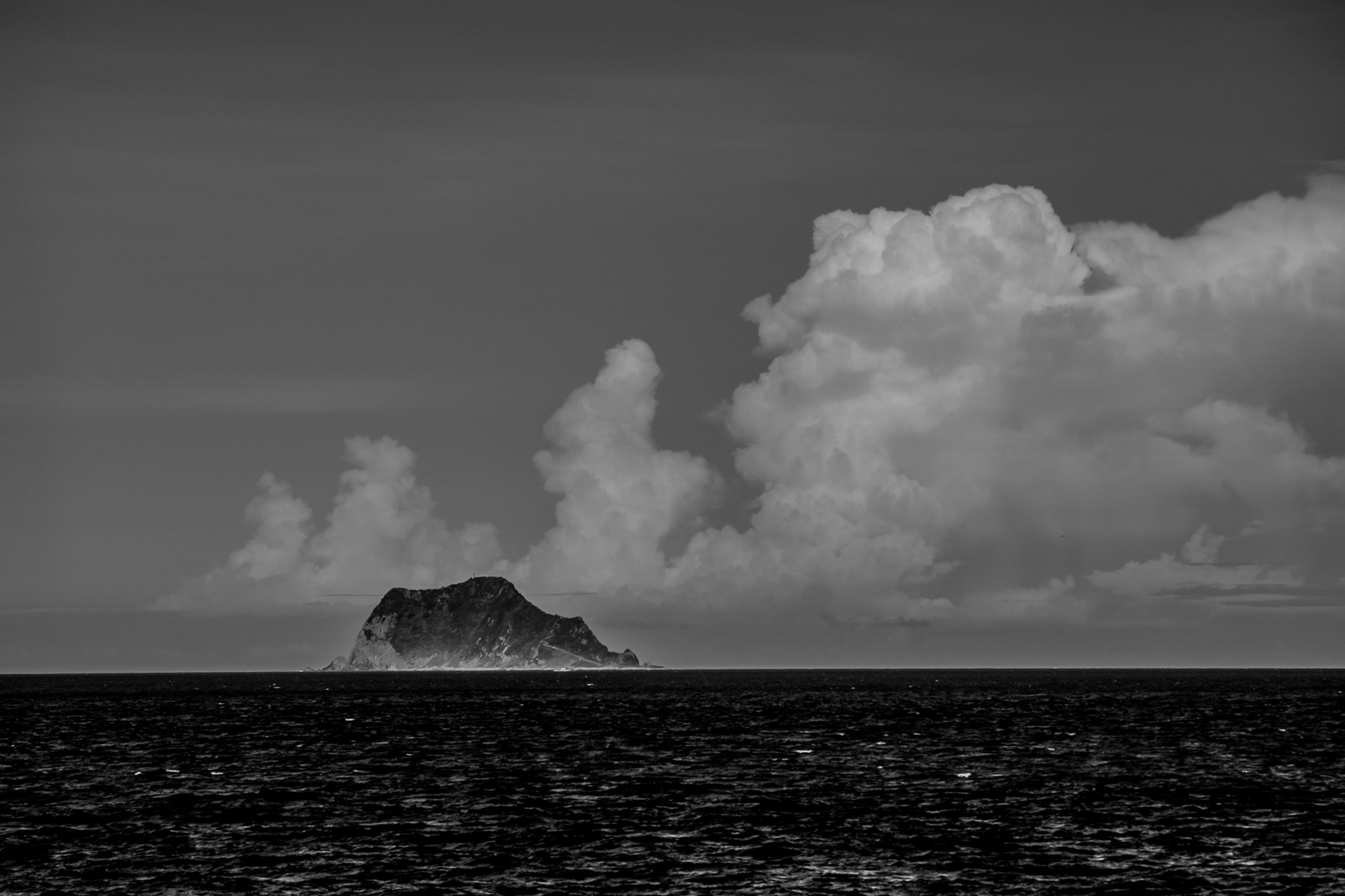
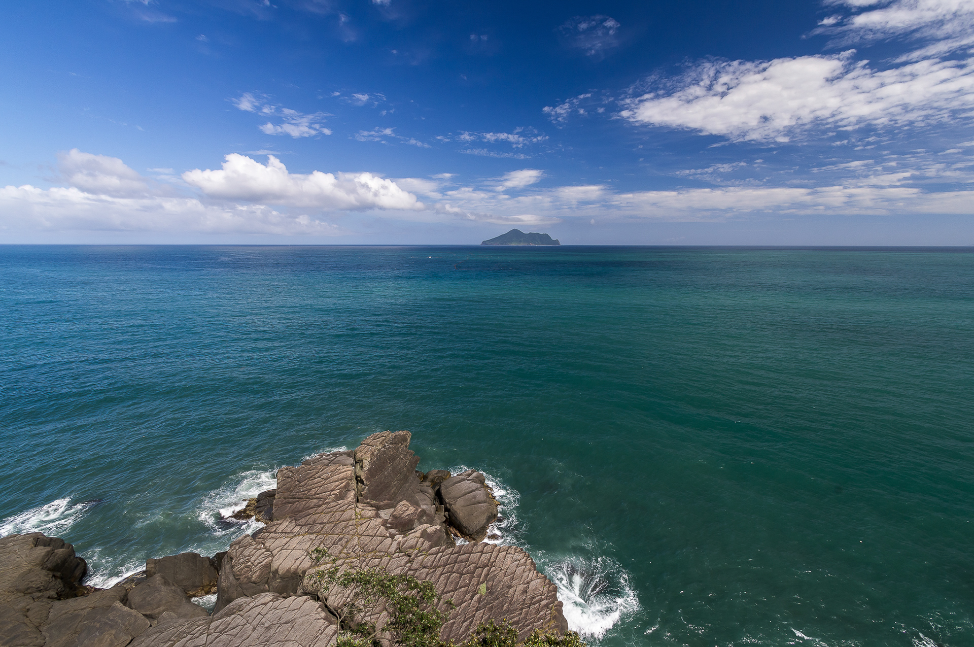
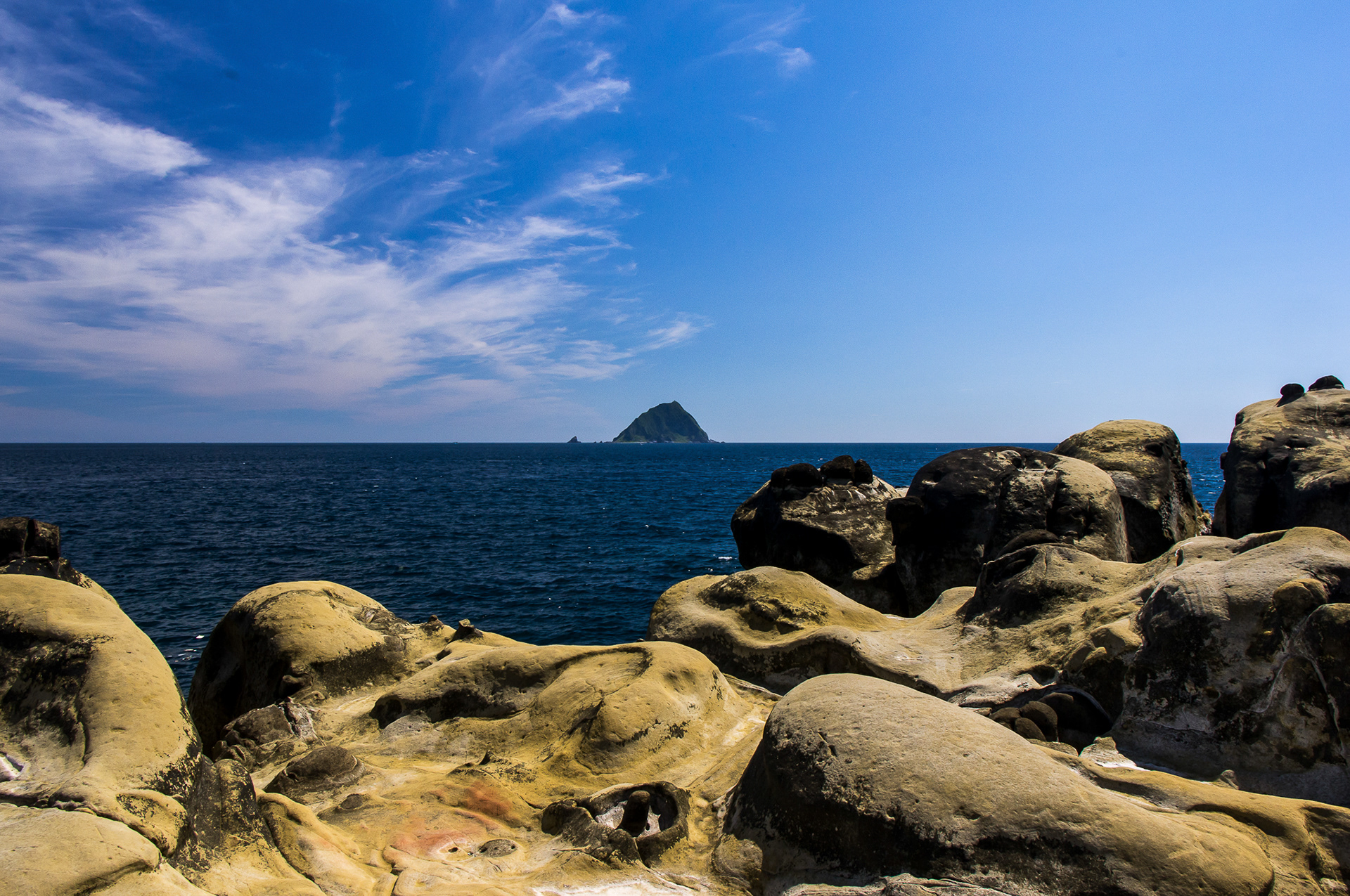
The Keelung Islet. An uninhabited island and it is about 9 km to Taiwan in distance. Nowadays, this Islet is guarded by the Taiwan Coast Guard Administration as a watch house on the ocean.
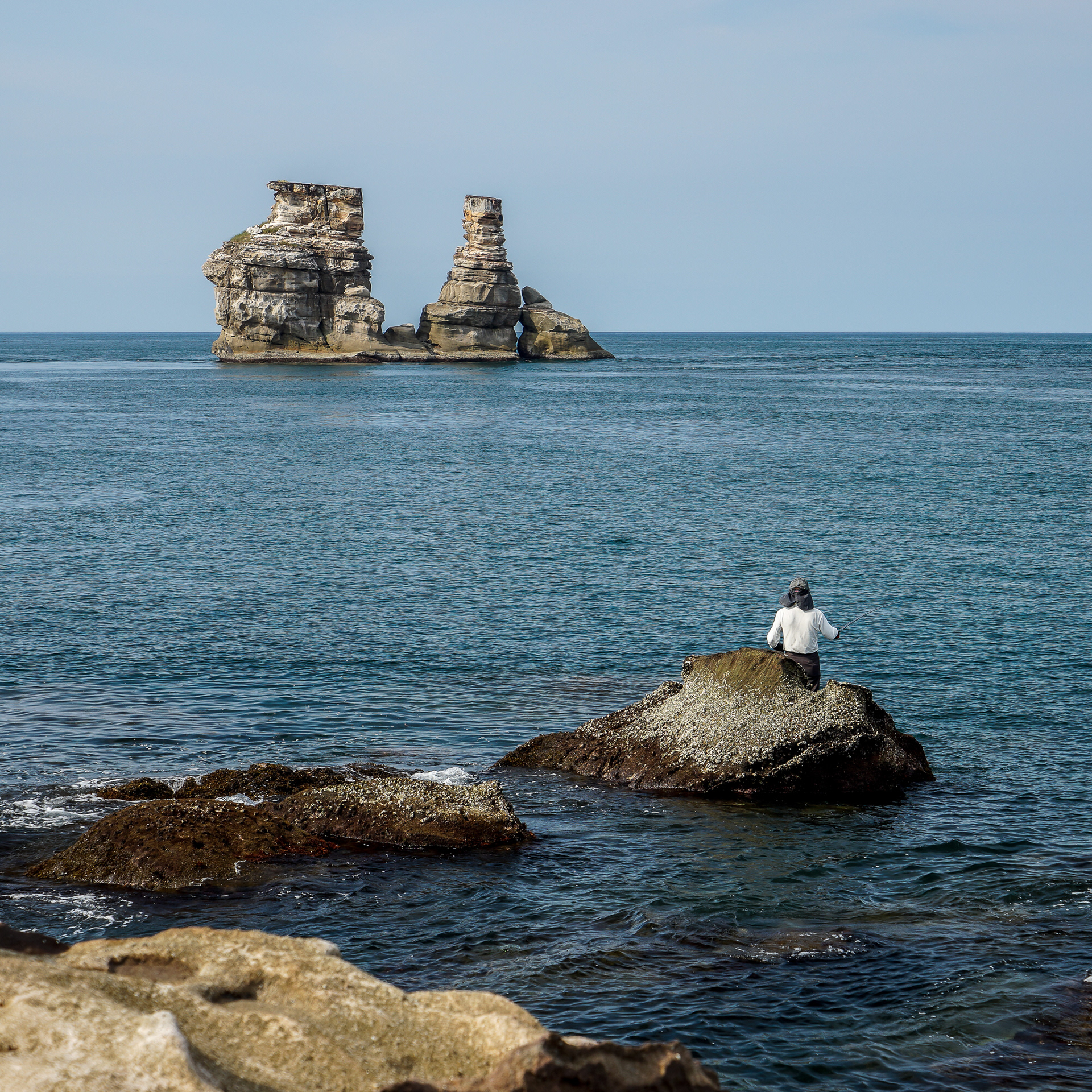
The Twin Candlesticks Islet in the northern coastline.

Near the Twin Candlesticks, there has a beach that rare people would go. Sometimes I saw people played windsurfing or boating there. Interesting thing is that I still have no idea where is the path to the beach.
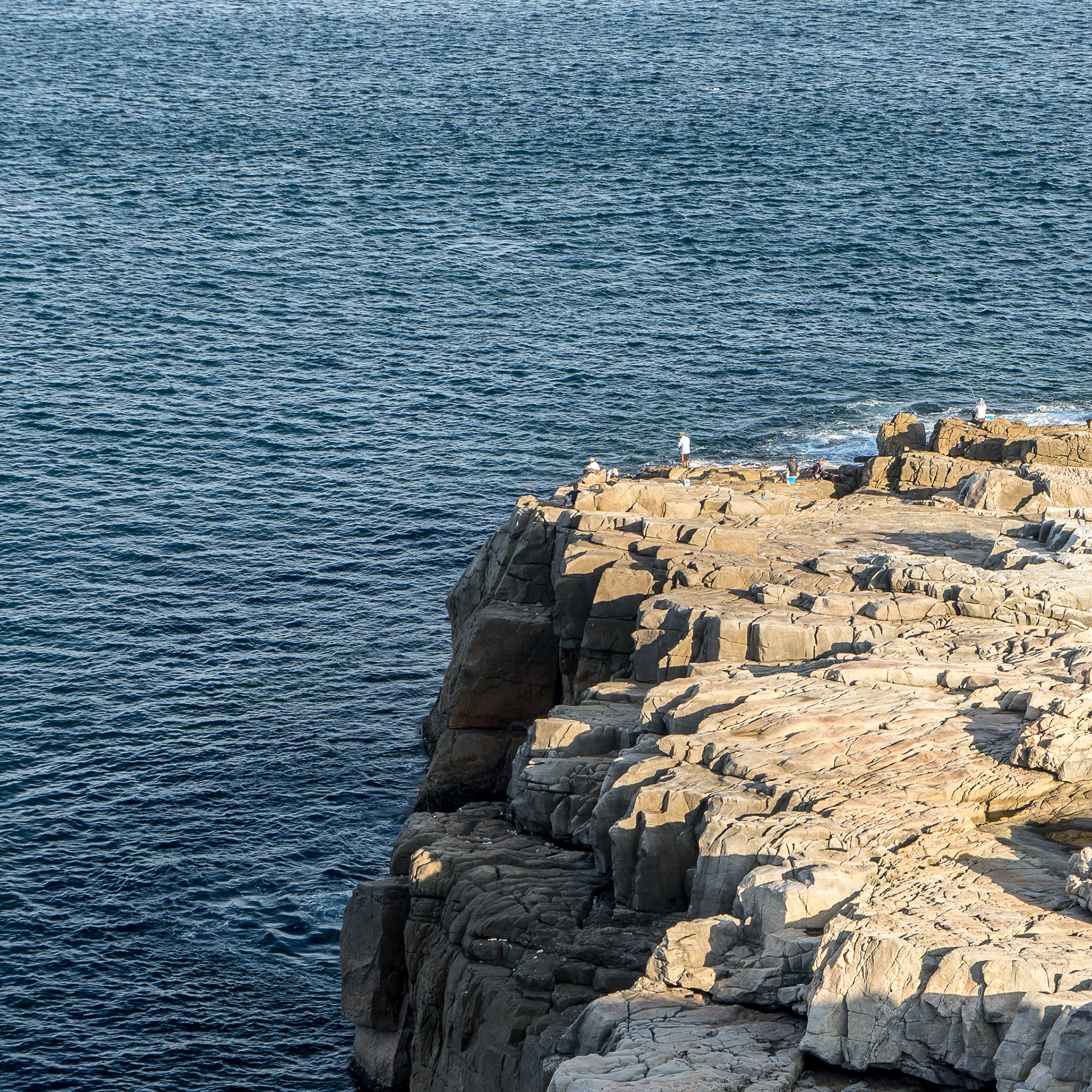
On the rocks of the coastline, many people like to fishing even it is about 10 meters height.

A outdoor sport in the cliff - Rock Climbing. I thought it was a body who came down accidentally at the first time I saw and I just found out that it was just a person who was lying and reading his book.

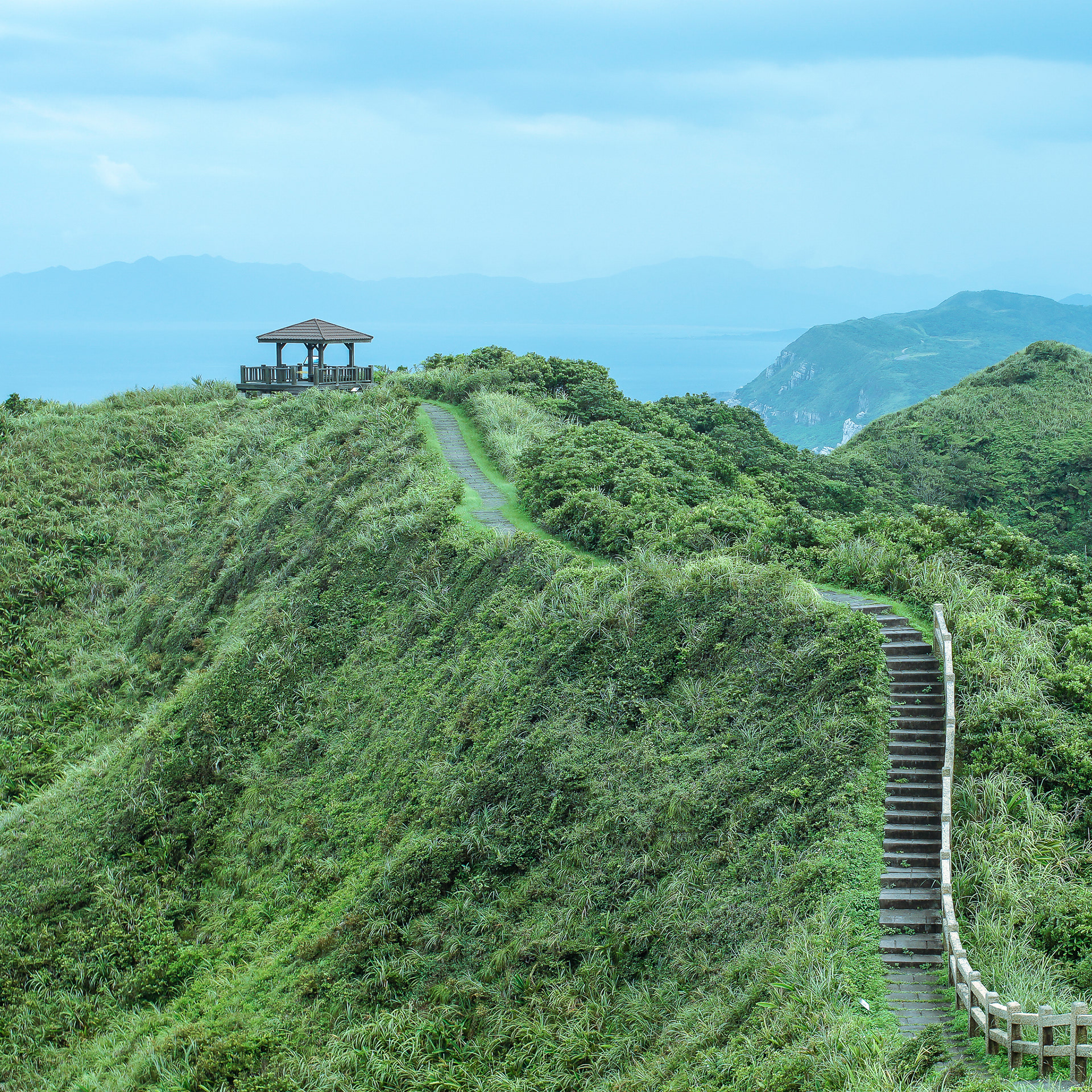
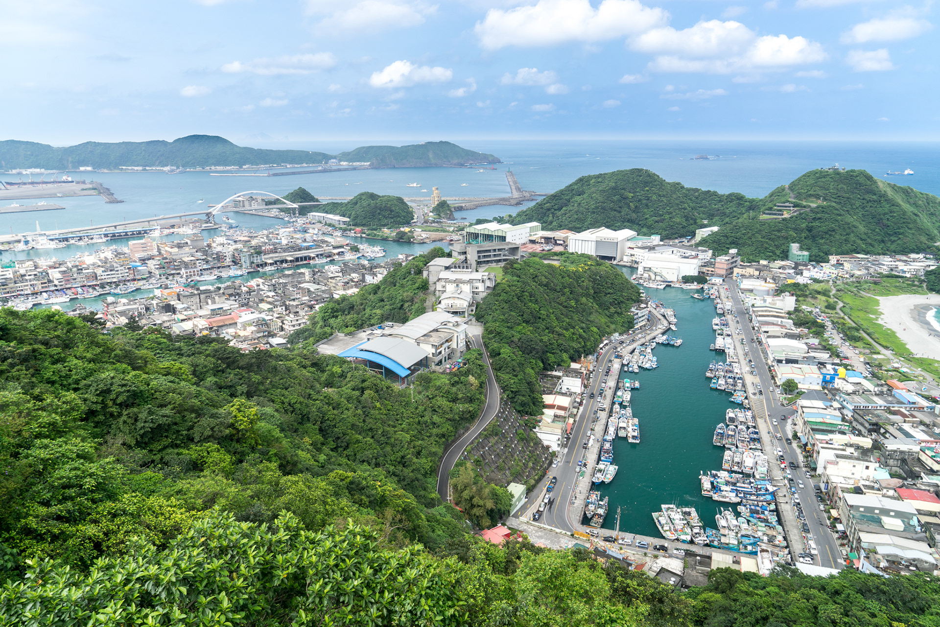
Fishing ports are one of the tourist spot in there, many restaurants in here provide the freshest and cheaper sea foods. On the back side of the port, there is a mountain called "Bitou Cape". In Mandarine, Bitou means the head of nose. Moreover, tourists could see beautiful landscape when they walking on the path of mountain.
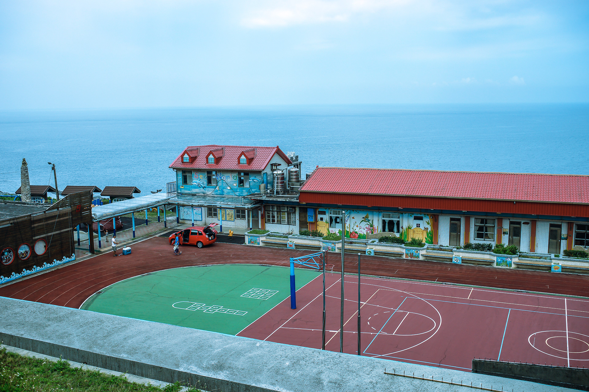
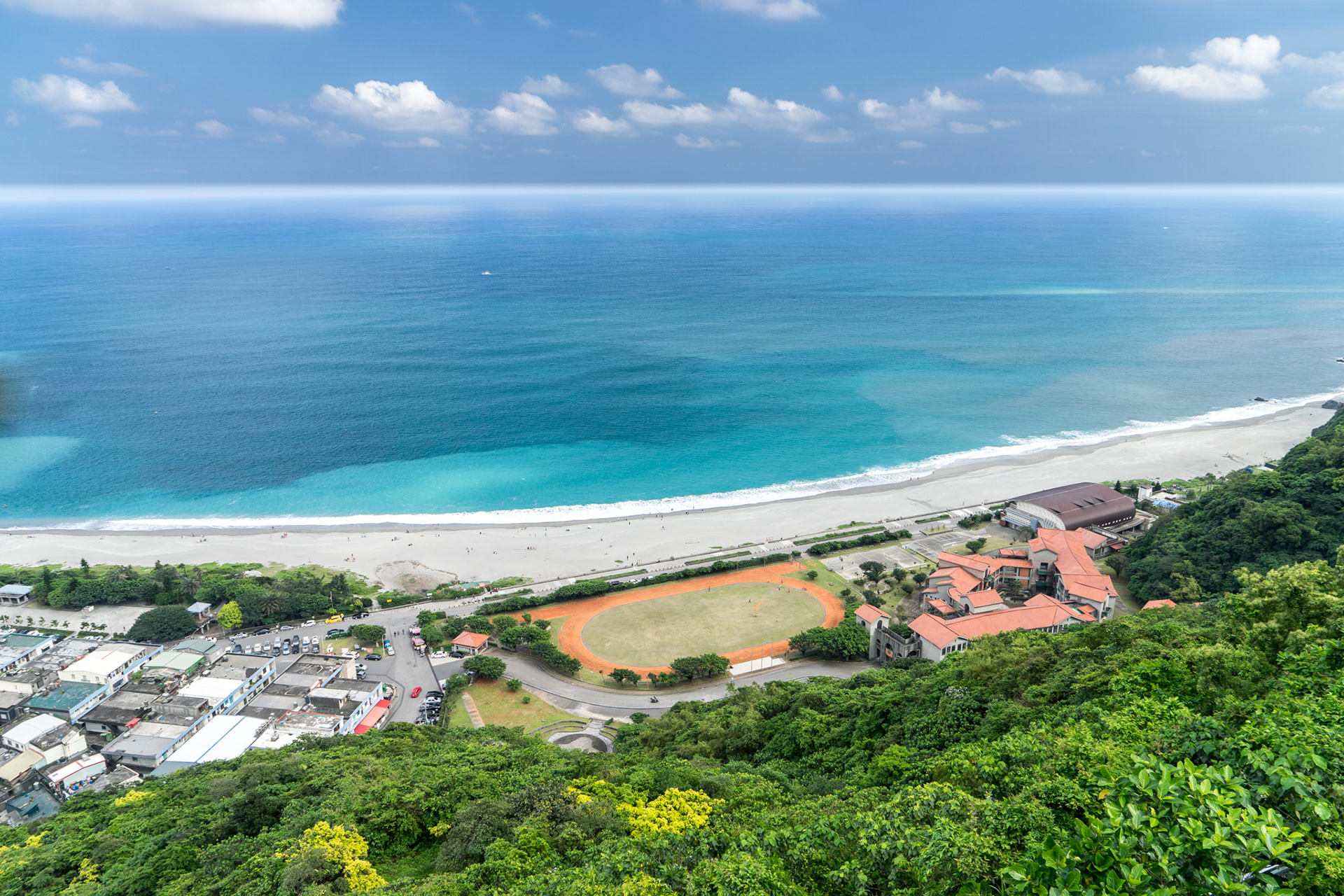
This is an elementary school next to the cliff and also aside of the path in Bitou Cape, the students could see the ocean directly by just looking out of the windows.
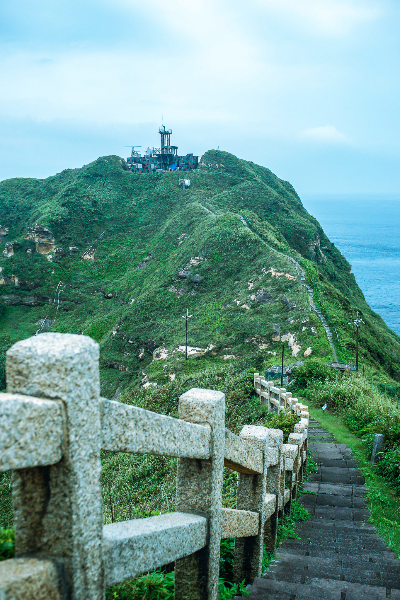
Military camps (radar stations) in Bitou Cape. It is not allowed to close, but I can still photograph by anyway I want.

The path is circle around the mountain, it is the best way to eat sea foods in the port after hiking.
Everywhere in the northeast coast highway would be liked in this. Also, there are many places to park your car if you want to look around.

Nanya Rocks. One of the famous tourist spot in northeast coast.
Lines of the Nanya Rocks.
Biggest rock in Nanya Rocks. It is about 3 to 5 meters height.

In the northeast coastline, it is difficult to see the sunset. But you can still capture the changes of colour temperature during this time.
A place called "Wangyou Valley". In Mandarin, it means a valley where you can forget your worries.

Down to Wangyou Valley.
The view in valley.

The most east lighthouse in Taiwan. But it is located in northeast side, not east.
A big fish port in Yilan and it is called "Nafang-Ao". In Mandarin, Nafang means south and Ao means a place with curve shore.
A beach next to the port, or you can say it is part of port.

The south coastline in Kenting, it is the nearest place in Taiwan. Although the terrain is quite like, the weather is totally different. Southern Taiwan would be more warm in every season.
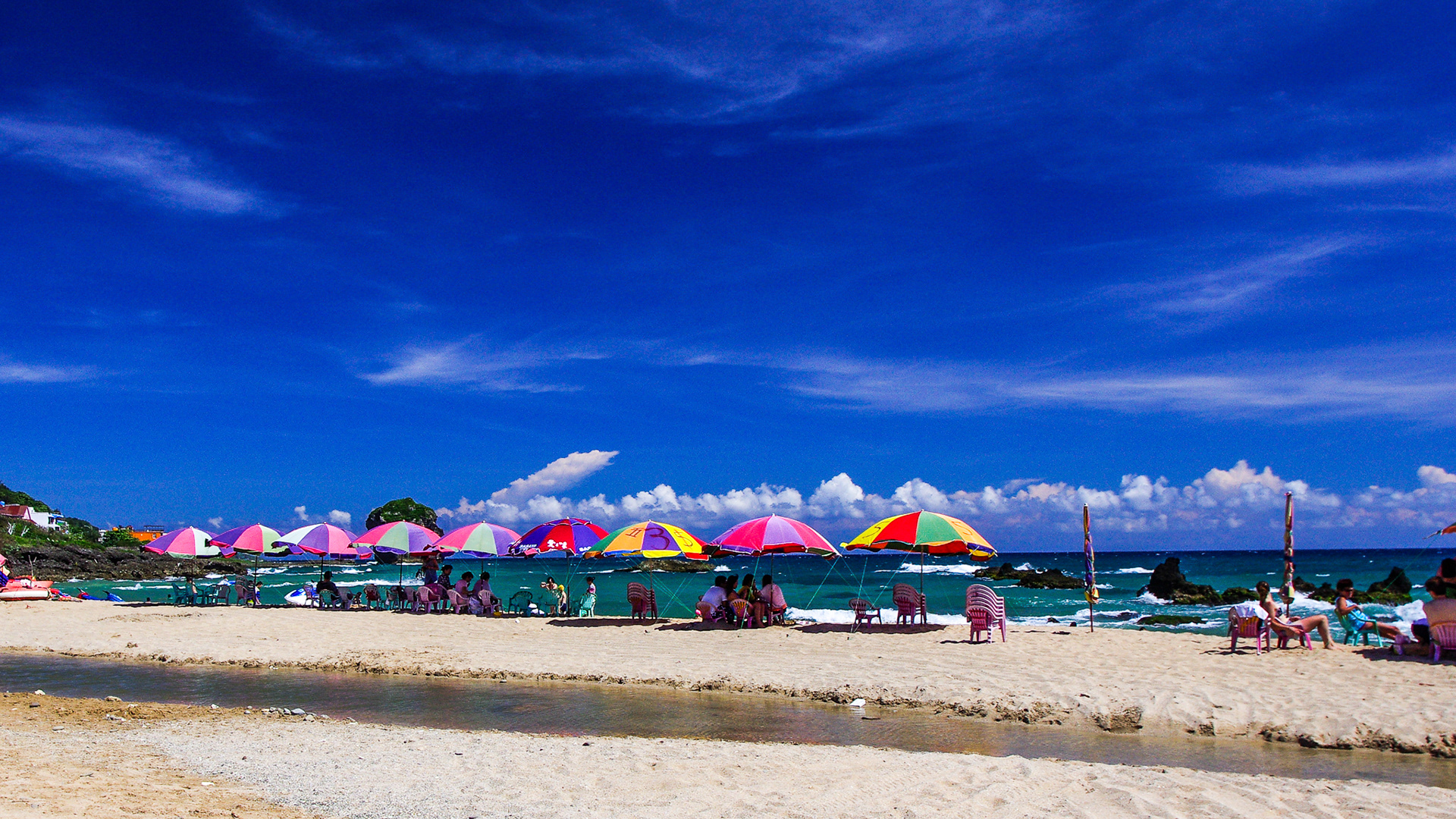
Sand beach in Kenting.

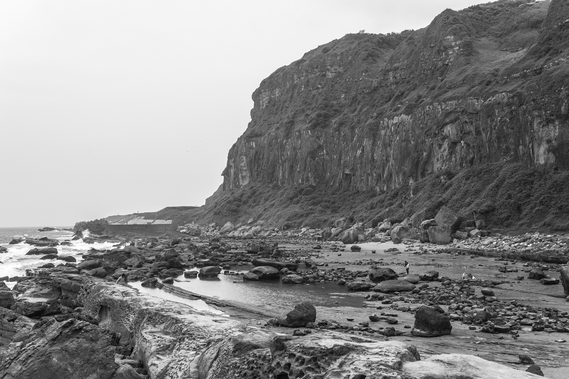
Northeast coastline.