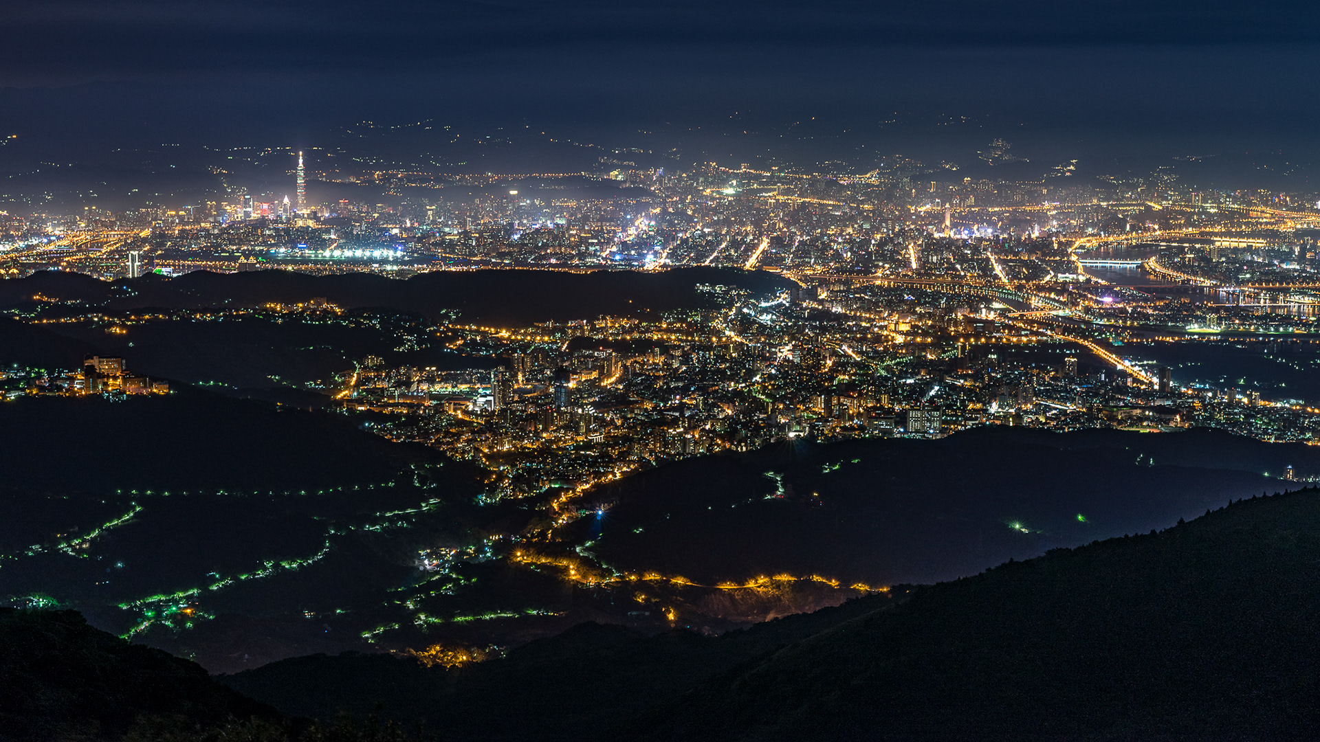
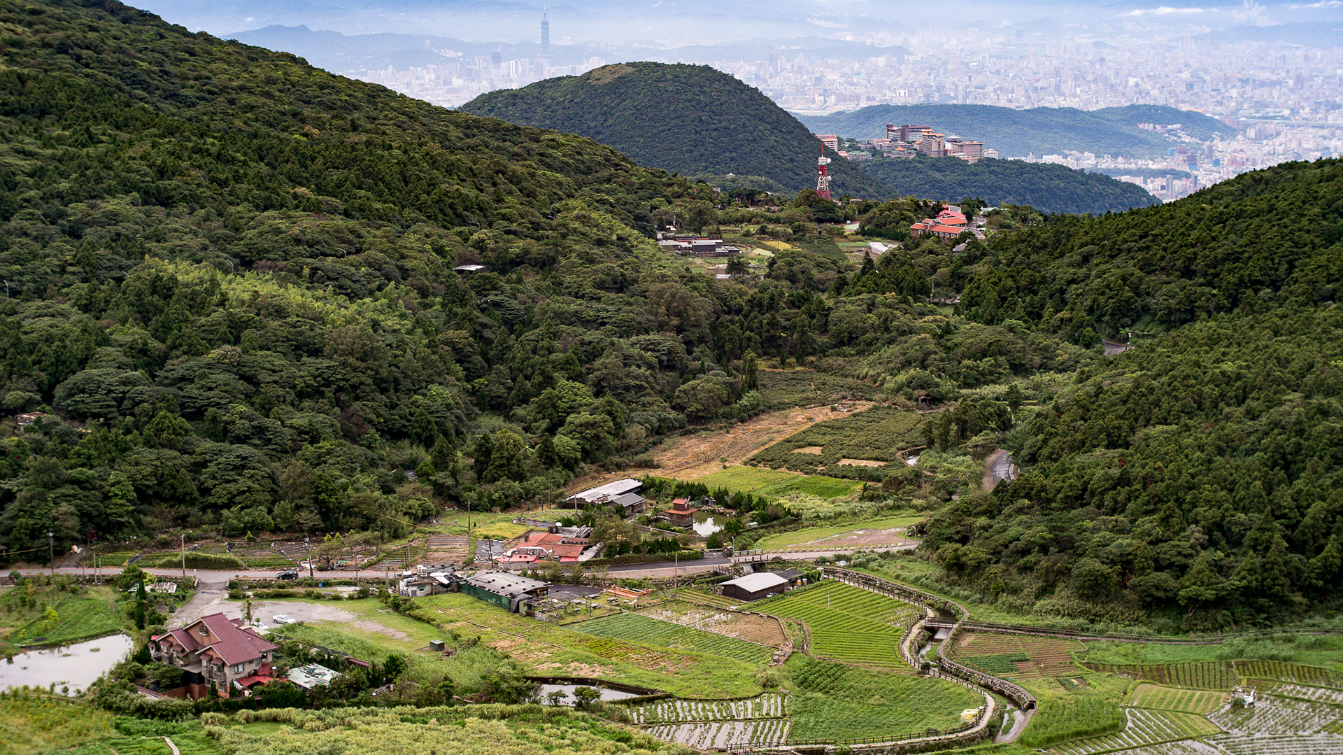
Datun Mountain. One of the mountains in Yang-Ming Mountain area, it is the second highest in Taipei and the highest one that vehicles could drive to. The buildings with orange roof are the Chinese Culture University, one of the highest universities in Taiwan. Also, the Taipei 101 is on the top right of the picture. In this position, you can see all Taipei City with a wide angle of almost 270 degrees.
There is a hot-spring source on the lower right in, Yang-Ming Mountain area were developed as a important place for hot-springs and sightseeing since Japanese colonial era.

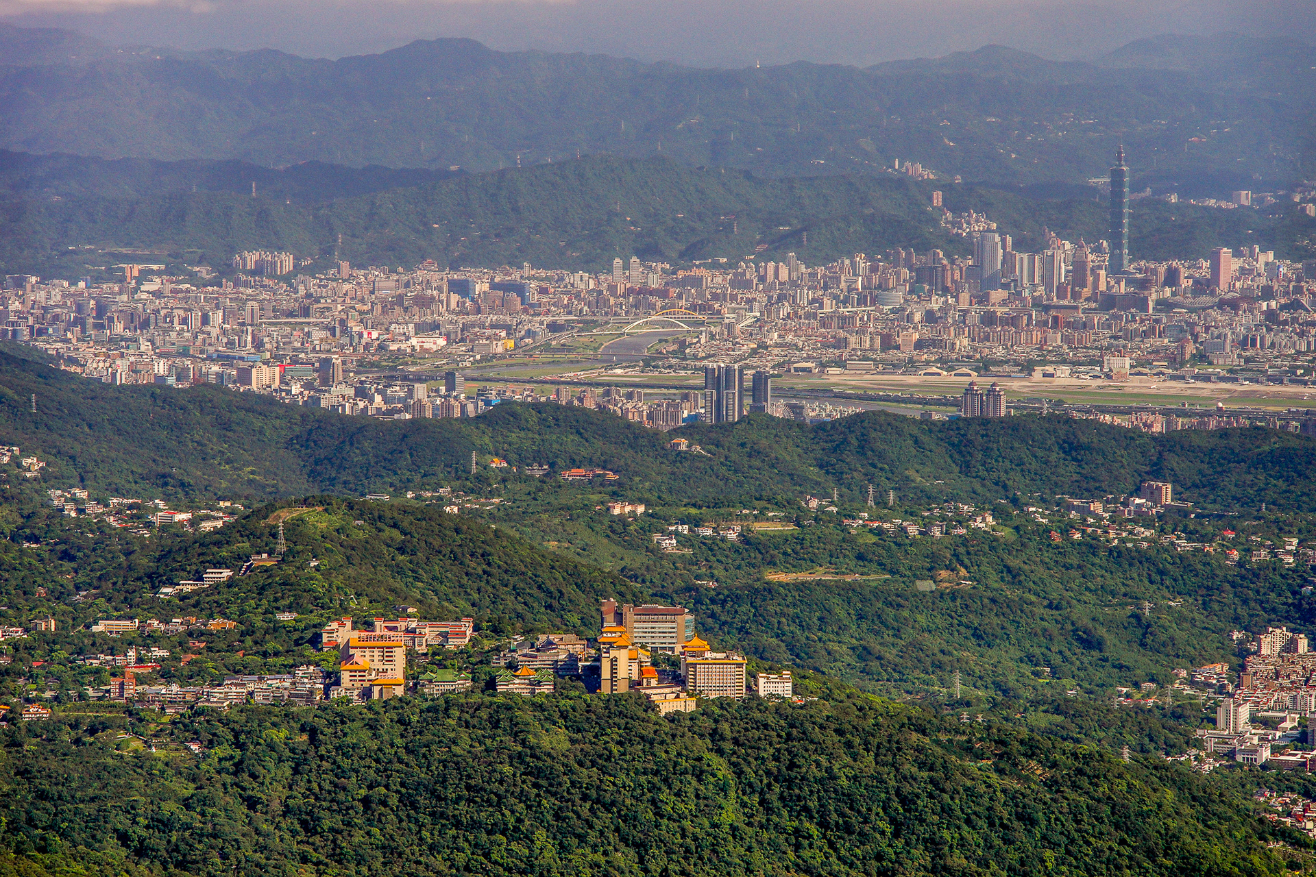
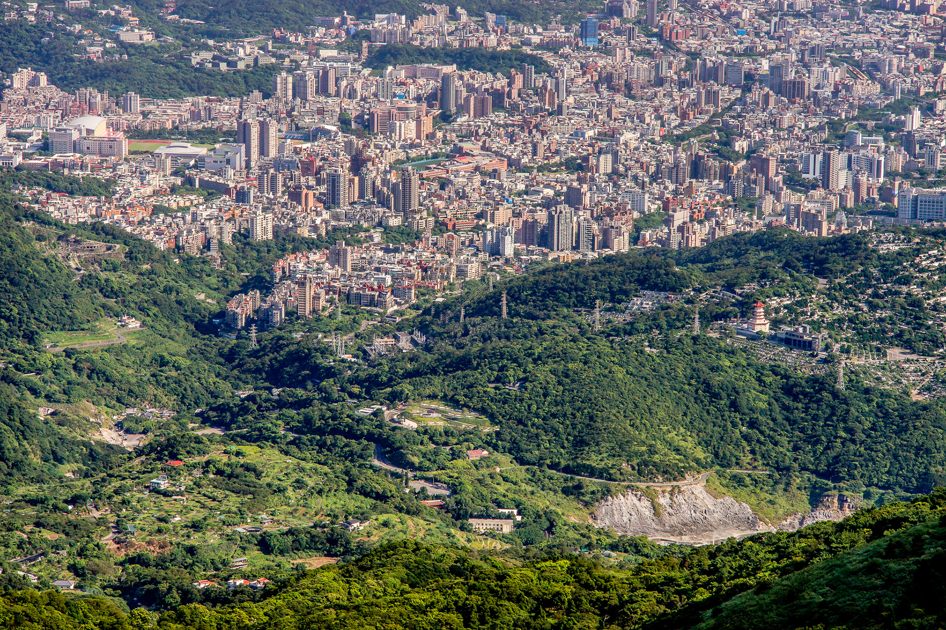
Taipei now is a highly developed city, but there are some paddy fields in the Peitou District which is also the main hot-spring area in Taipei.
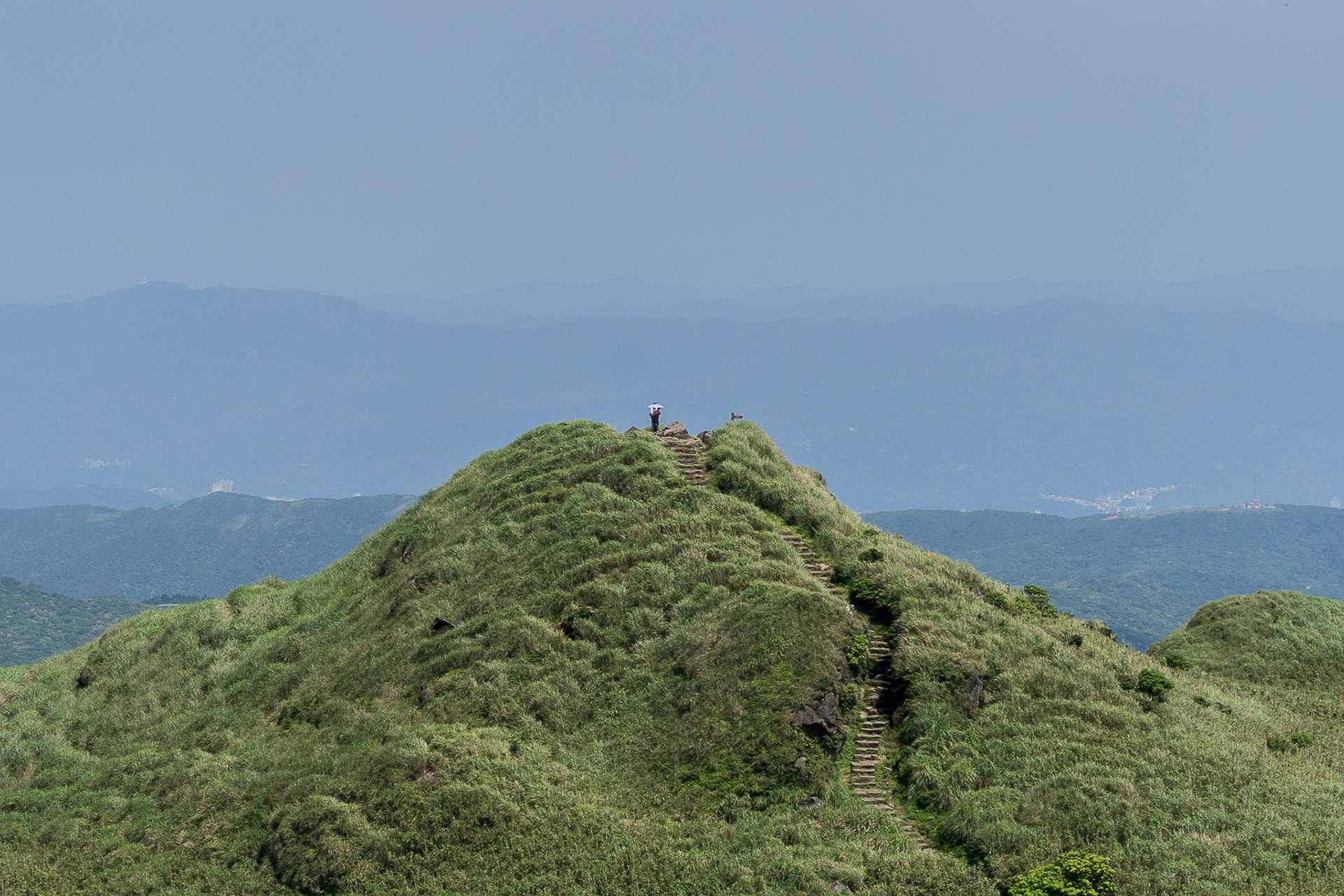
One of the peak in Qixing Mountains, in Mandarin, Qixing means "seven stars". Qixing Mountain is the highest in Taipei, it has 1120 meters in height. (Qixing Mountains are also in Yang-Ming Mountain area.)
The Bamboo Lake in Yang-Ming Mountain. Now there are no lakes, a lot of Calla Lily farms and tourist farms are becoming a popular hot spot of Taipei.
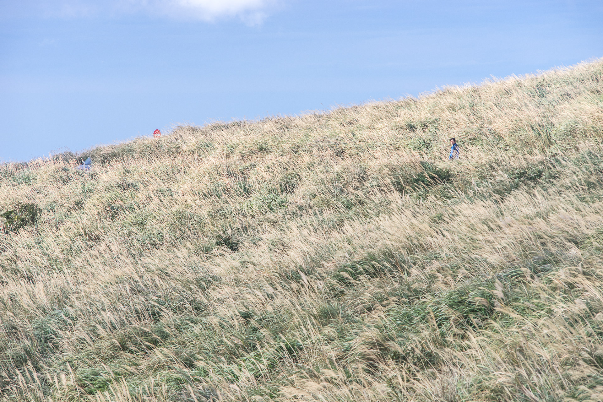
From October to November, it is the flower season of Miscanthus. (it is also called "silver grass".)

Silver grass in Datun Mountain.

In the back of Datun Mountain. Because of the advantages in terrain, weather stations or military camps are set in Yang-Ming Mountain area. The top of Datun Mountain has a heading station as the same reason, it may help airplane to recognize the directions in the sky.
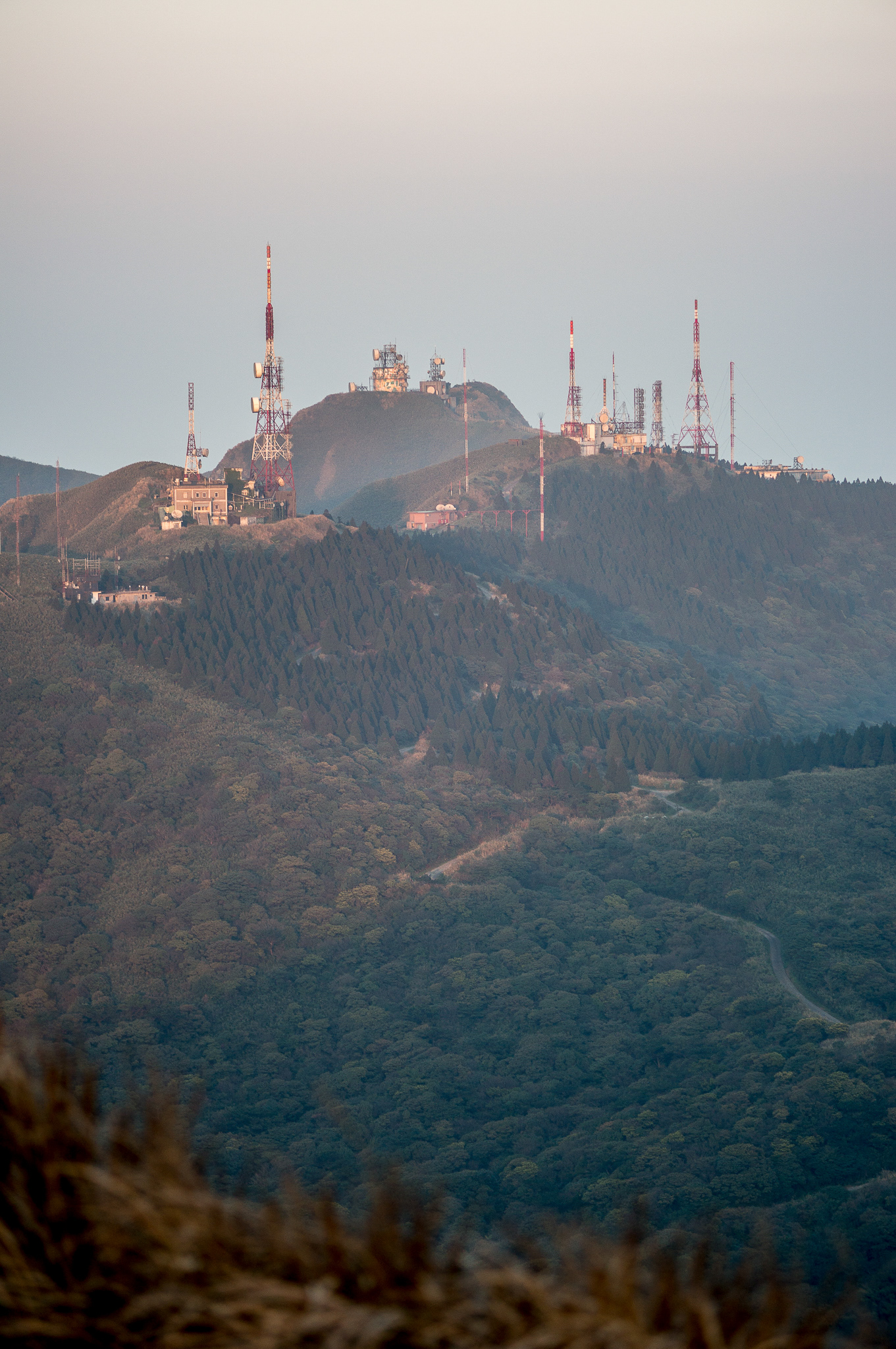
The military camp on the top. These areas are forbidden to enter. I guess these buildings are belong to air force because there are radar stations.
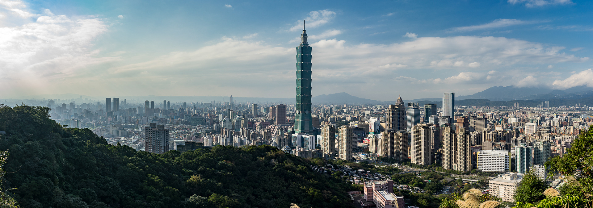
The Elephant Mountain in Xinyi District which is highest developed district in Taipei City. The Elephant Mountain is one of the mountains in "Four Animals Mountain", It includes Tiger, Lion, Leopard and Elephant and they surround the Xinyi District on the South-East side. It also has a good position to see fire works by Taipei 101 in new year and has a beautiful sunset.
From Elephant Mountain, it is clear to see a tableland in distance. The geography of Taipei City is basically a basin, it is surrounded by mountains. That is the reason people could easily escape the crowded centre and it just cost less than 40 minutes to reach the mountains. Over the mountains on the North and North-East side, it is our marvelous coast line.
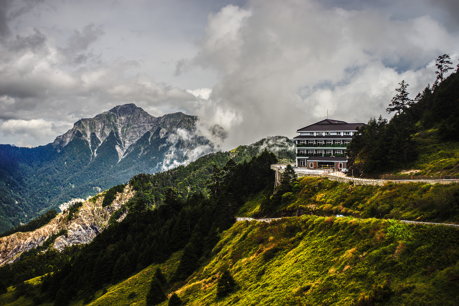
Hehuan Mountain, this is one of the famous mountain in the middle of Taiwan. The top of this mountain is 3422 kilometers above the sea level. I drove from Taipei to there and it only spent me 3 hours. Feeling difficult to breath when walking on the path of the mountain is normal at the first time I visited there.
Some Taiwanese aborigines live in these area and they grow many delicious fruits and vegetables, like peaches and cabbages, on the mountainside.
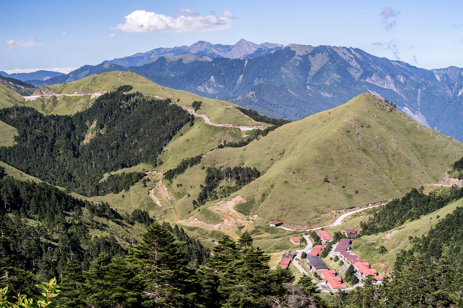
Taiwan special forces camp in Hehuan Mountain.
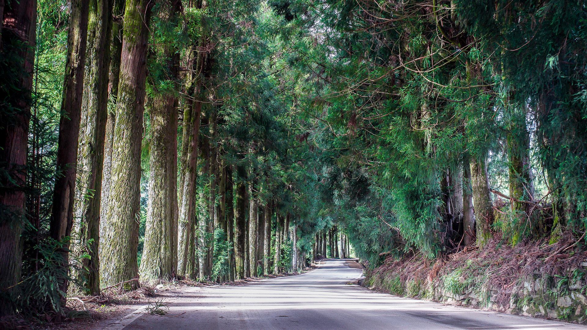
A forest tunnel from a village to the main street in Hehuan Mountain.

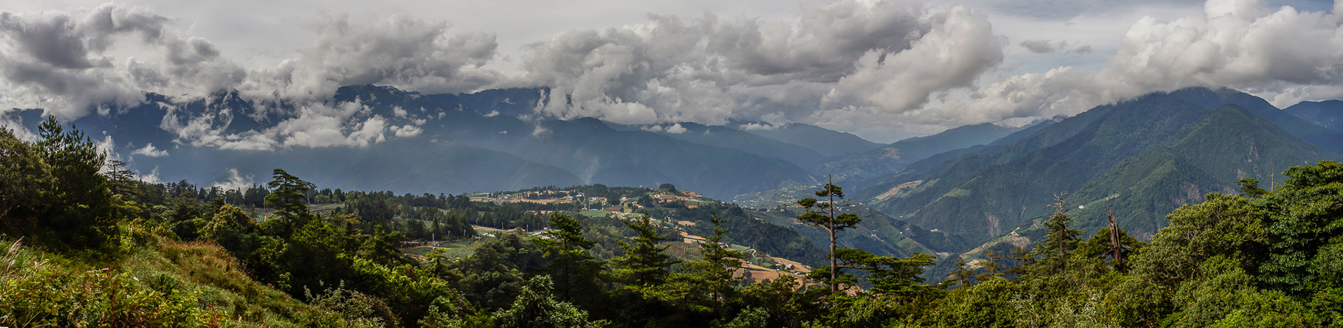
Sea of clouds in Hehuan Mountain.

Sunset in Hehuan Mountain. Grasses, trees, rocks, stones and leaves will turn to gold when sunset. The colour of sunset is totally different from the city.

It's Iron Man !
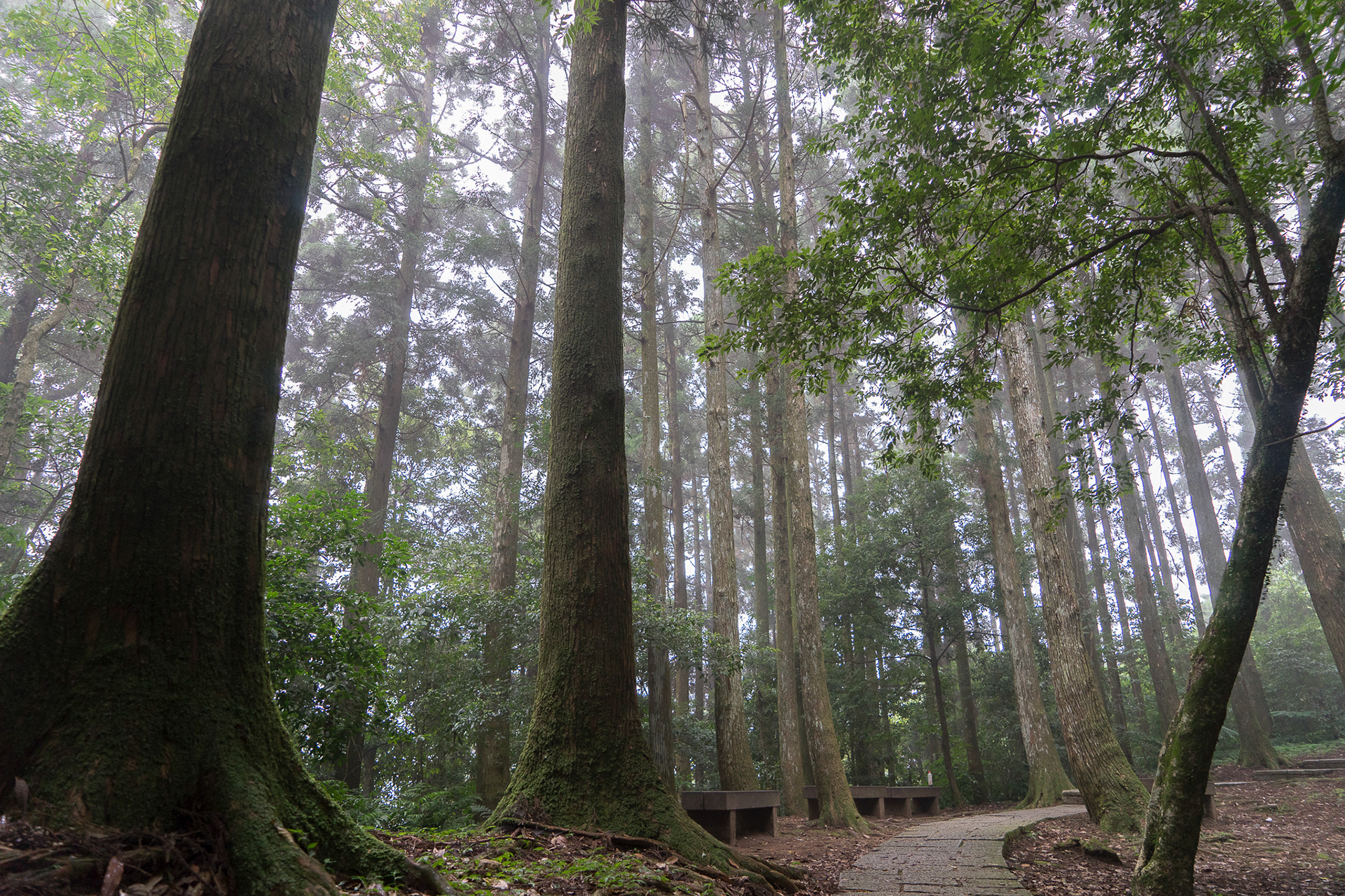
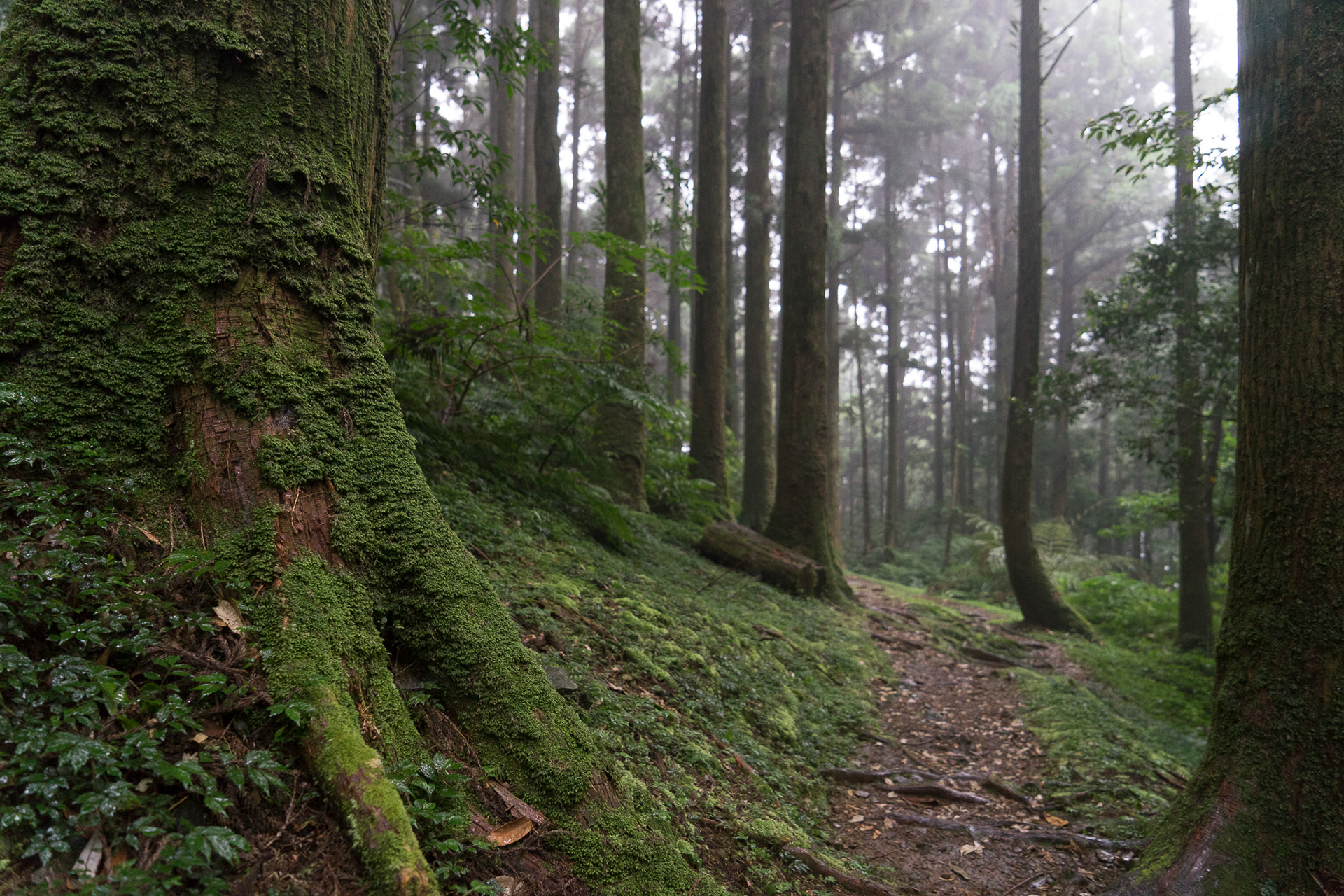
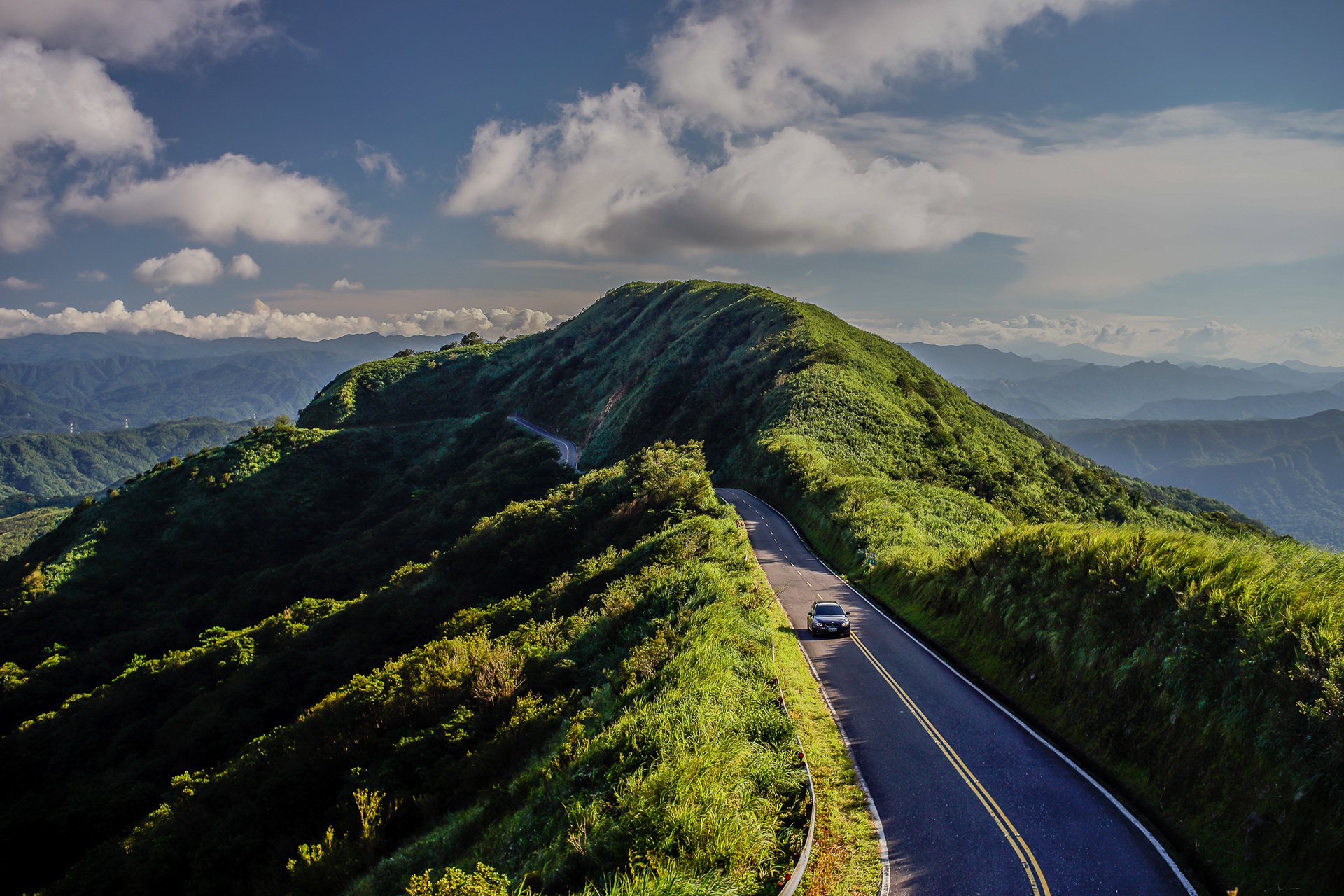
A forest path in the Northern Cross-lsland Highway. For people who can pass through between the east and west Taiwan, the government built three cross-island highways, northern, central and southern.


Pictured on the Warship Rock in Peitou District.
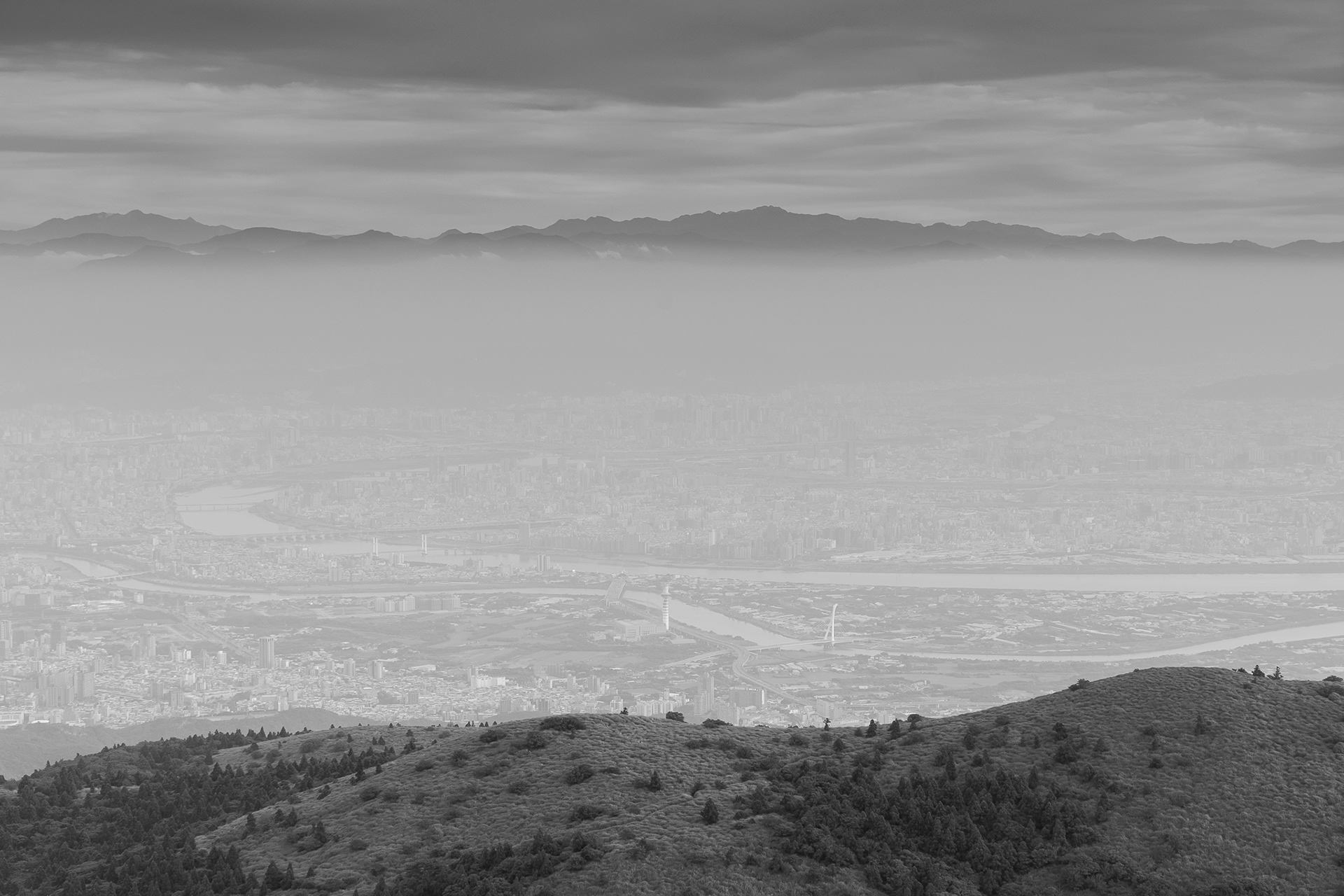
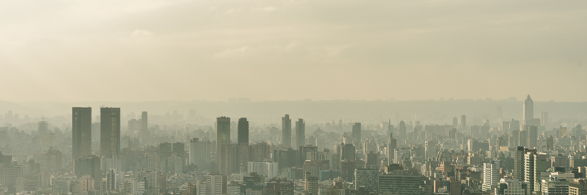
Both the city and mountains became unreal by the fogs and mists.

The view from the Guanine Mountain.
The view from the Warship Rock to the Guanine Mountain. The name of Guanyin Mountain is from a side angle that looks like a side face of Guanine who face up to the sky.